Steckbrief

Zu den Sieben Quellen
Prospekt-Download

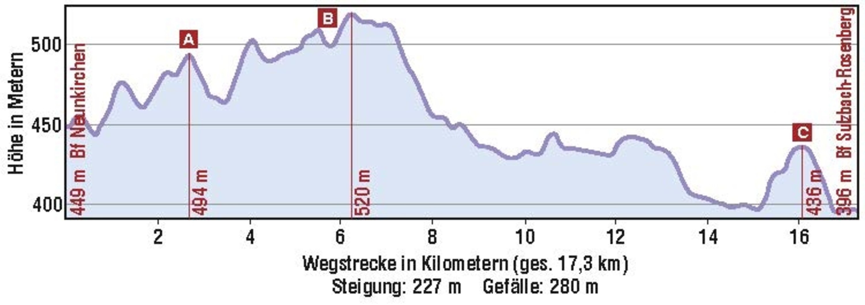
Informationen zur Wanderung
GPS-Track Download
| GPX / Garmin | Tourdaten.gpx |
|---|---|
| Google Earth | Tourdaten.kml |
| GPX / Garmin | Tourdaten.gpx |
|---|---|
| Google Earth | Tourdaten.kml |
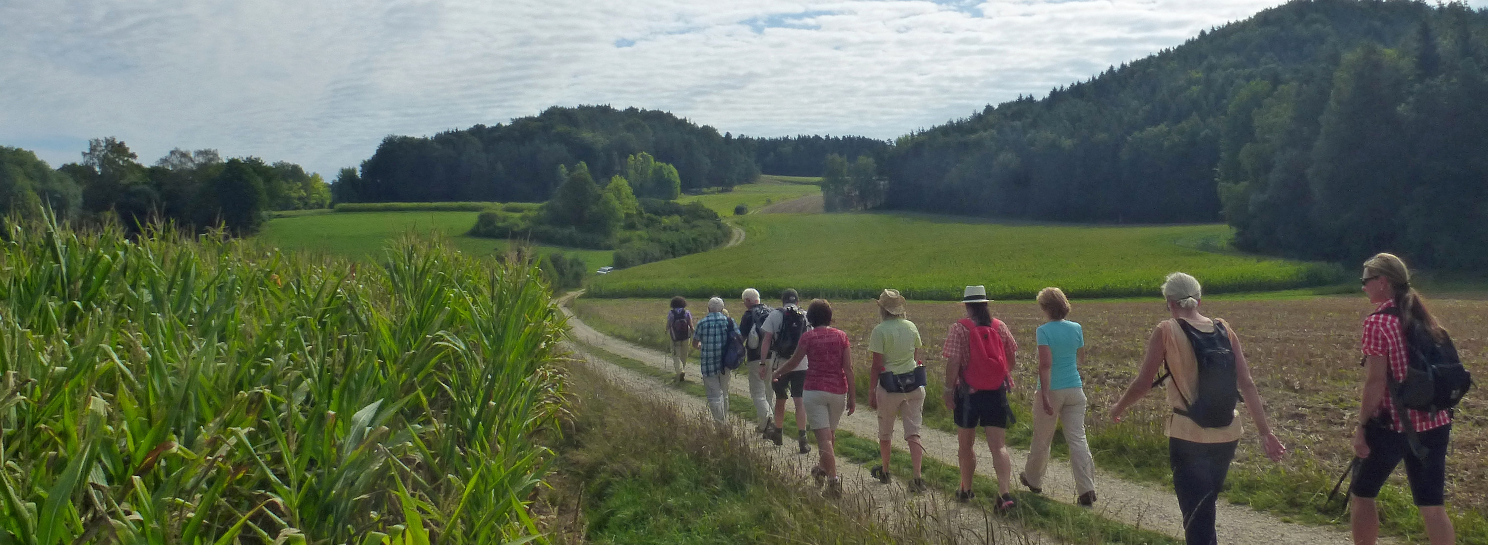
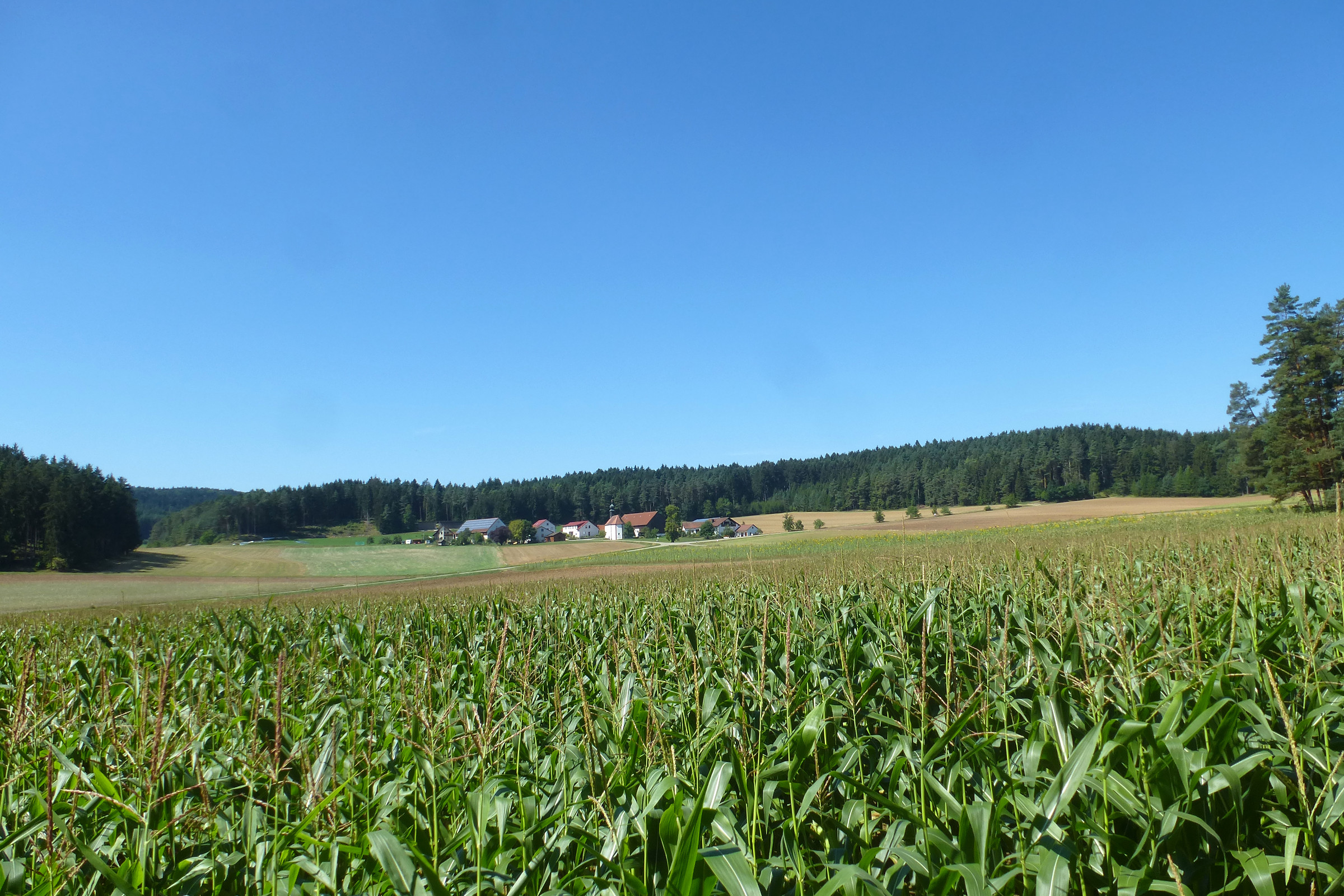
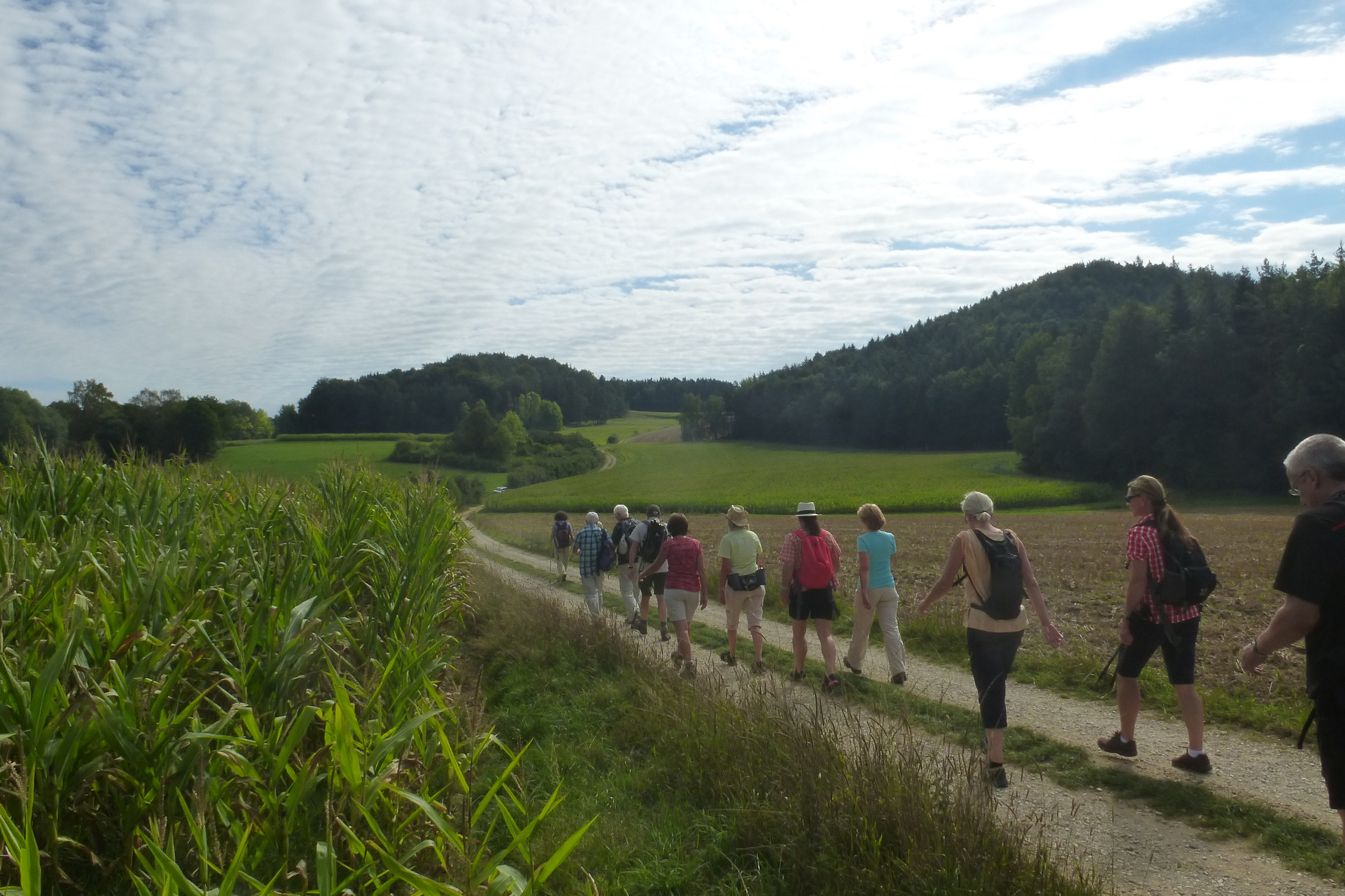
Wer Wanderwege in ruhiger, durch die dünne Besiedlung fast einsamer Natur liebt, liegt bei dieser Wanderung am westlichen Rand der Oberpfalz genau richtig. Nur vereinzelt wird die Stille durch die Feld- oder Waldarbeiten, beim Queren der Landstraßen oder bei dem ein oder anderen Dorffest in diesem waldreichen Bereich des Amberg-Sulzbacher Landes durchbrochen. Bei der Einkehr in den beiden bodenständigen Wirtshäusern kommen vor allem die Liebhaber von deftigen Oberpfälzer Spezialitäten auf ihre Kosten.
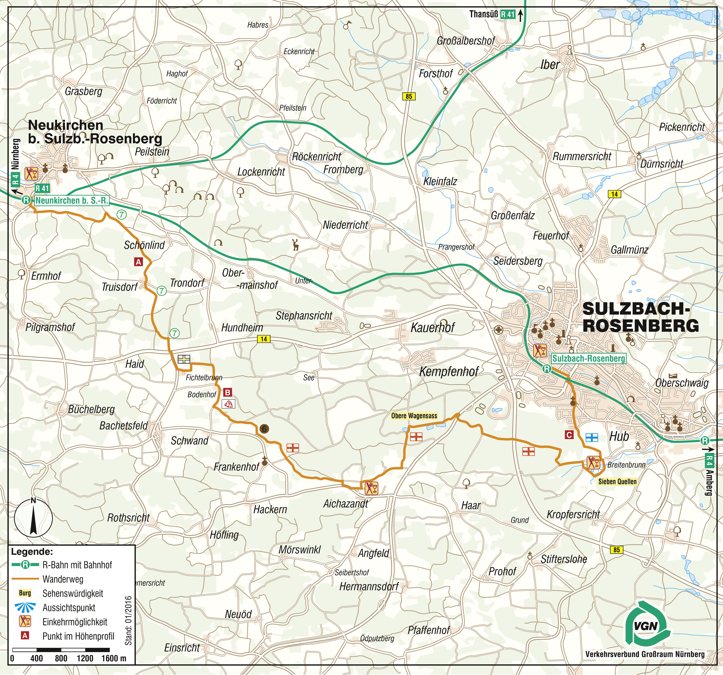

Vom Bahnhofsvorplatz  aus geht es im Rechtsbogen kurz hinab zur Straße und durch die Bahnunterführung. Gleich bei der ersten Seitenstraße wechseln wir die Straßenseite und folgen den zahlreichen Markierungen durch den Neukirchener Ortsteil Fichtenhof. Am Ortsausgang halten wir uns nun ohne Wegezeichen geradeaus und folgen dem leicht geschwungenen Feldweg nach einer Senke aufwärts bis zu einem Waldabteil.
Geradewegs am Waldrand entlang und danach im Linksbogen abwärts zu einem Querweg, dort rechts. Nach wenigen Metern taucht das erste Wegezeichen, die an einem niedrigen Holzpfosten angebrachte eingekreiste  , auf. Ihr folgen wir nach oben, beim schon sichtbaren, nächsten Holzwegweiser geradeaus hinein in einen Wiesenweg Richtung Fichtelbrunn/Truisdorf.
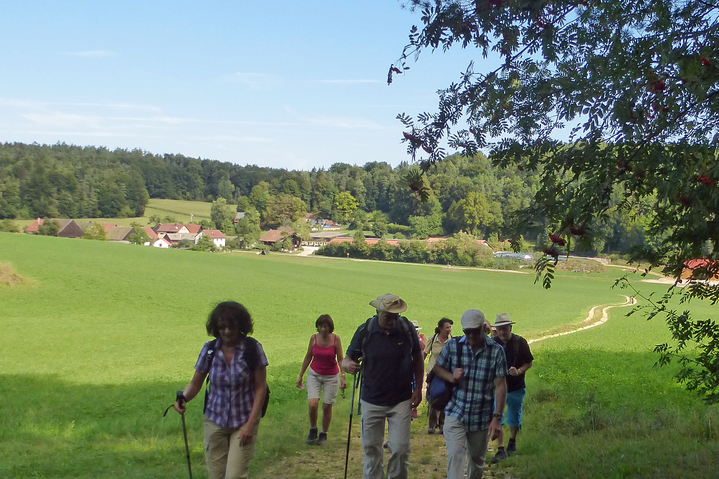
Nach der Kuppe rechts an einer Hecke entlang, taucht unser Weg dann in den Wald ein. Zunächst ansteigend, oben dann wieder nach unten bis zu einem Querweg. Hier rechts zwischen den Feldern und auf einem Teersträßchen hinein in den Weiler Truisdorf.
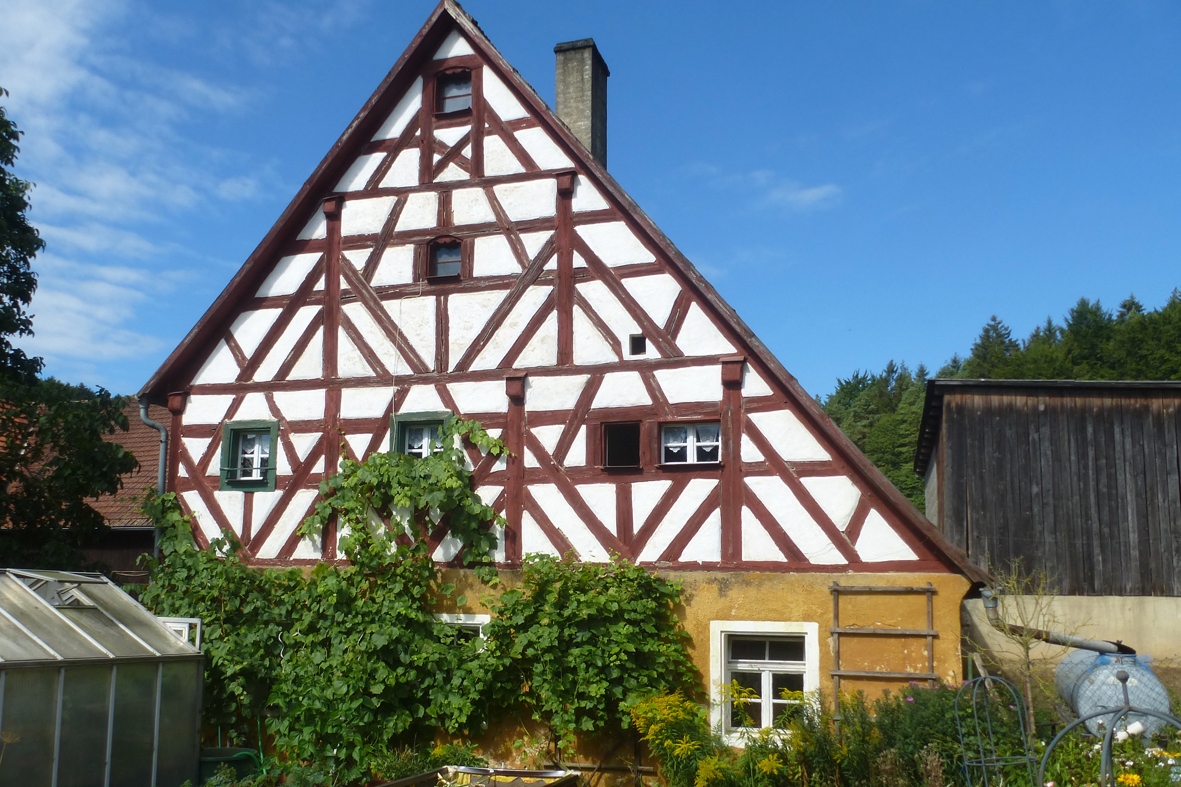
Vorbei an einem hübschen Fachwerkhaus, dann geradewegs dem Wegweiser ( Fichtelbrunn) nach, bis hin zum Ortsrand. Dort jetzt links ab, weiter mit der (an der Scheune angebracht) und an den Koppeln entlang. Nach einem Rechtsbogen geht es den Hang hinauf und durch den Wald, danach wieder abwärts.
Nach dem Waldaustritt nur kurz am Waldrand entlang, dann rechts ab und schnurgerade vorsichtig über die B 14 bis vor Fichtelbrunn. Am Ortseingang gleich links ab, übernimmt das  auf dem nächsten Abschnitt nun kurz die Führung Richtung Bachetsfeld.
Der Hinweis auf den Gasthof ist mit Vorsicht zu genießen, denn er ist überwiegend geschlossen. (Stand: 9/2015)
Geradewegs durch die Anwesen, nach einer Obstbaumreihe links hoch zum Waldrand und auf grasigem Weg in den Wald hinein. Rechter Hand führt ein angenehmer Pfad durch den schattigen Mischwald. Anschließend bei einer Wiese um einen kleinen Weiher herum und auf dem geteerten Untergrund linker Hand aus dem Weiler Bodenhof hinaus. Aufwärts bis zum Ende eines Feldes wechselt erneut die Markierung. Links ab, halten wir uns nun an den  (Böhmischen Löwen), der nach rund 50 m in das nächste Waldstück hineinführt. Nach ca. 200 m verlassen wir geradeaus den Hauptweg, der vor uns in Sichtweite.
Beim nächsten, breiten Querweg am Waldrand dann links. Nach wenigen Metern nutzen wir über einen Pfad den nicht markierten Abzweig nach rechts. Der und  verlassen uns geradeaus. Weiter am Waldrand begleitet uns unscheinbar von links hinzukommend kurzfristig die
  des Sulzbach-Rosenberger Rundwanderweges Obere Wagensass. (km 7,0)
Nach einem Linksschwenk leitet uns diese an einem Graben links des Weges entlang durch das nächste Waldstück und danach abwärts bis zu einer großen Wegekreuzung. Rechts vor uns, mitten in herrlicher Natur: das Frankenhofer Kirchlein St. Margareta, eine der Filialkirchen der Pfarrei Illschwang.

Bis zu den Sieben Quellen halten wir uns nun konsequent an das  , unter anderem auch Wegezeichen des Erzweges. Es leitet uns zunächst weiter geradeaus abwärts und zielsicher bis vor Aichazandt. Dort bietet sich im Landgasthof Schmidt, rechts leicht abseits des Weges, eine erste Einkehrmöglichkeit. (km 9,2)
Der Weg dorthin führt vor der Ortschaft rechts vor zur Landstraße, dort links und ebenfalls links hinein in den Ort. Nach dem Parkplatz rechts – und der Eingang ist erreicht. Zurück zum Wanderweg halten wir uns rechts, und nach dem letzten Haus dann links abwärts.
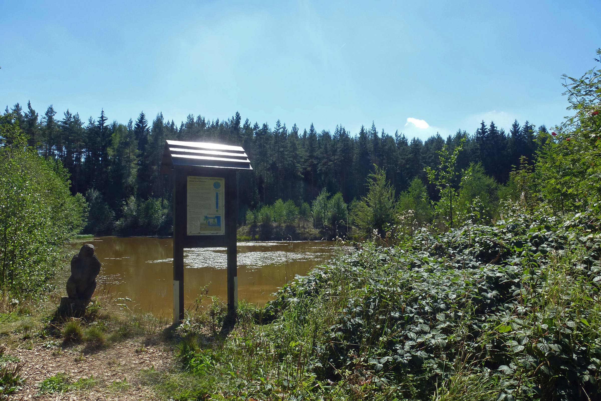
Ohne Einkehr geradeaus, sonst wieder am Hauptweg angekommen rechts, bleiben wir auf dem breiten Feldweg, den wir allerdings ca. 150 m vor der Landstraße nach links wieder verlassen. Erneut leicht ansteigend durch den Wald, nach der Kuppe abwärts, u. a. weiter dem folgend. Beim ersten (meist ausgetrocknetem) von drei Weihern ist das Naherholungsgebiet Obere Wagensass erreicht.

Danach, vor der „Klangstation“ rechts, achten wir auf dem lang gezogenen Weg im letzten Drittel auf den rechten Wegesrand. Zwei ausgetretene Pfade führen zu den beiden anderen Weihern und eröffnen einen weiteren Blick in dieses schöne Naherholungsgebiet. (km 11,0)
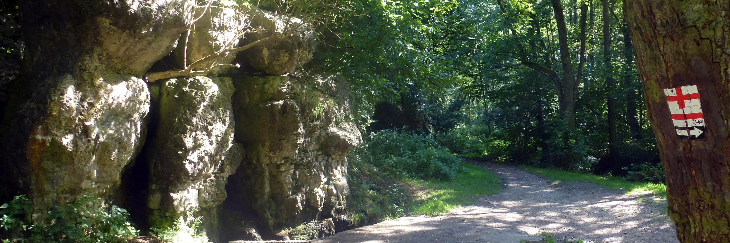
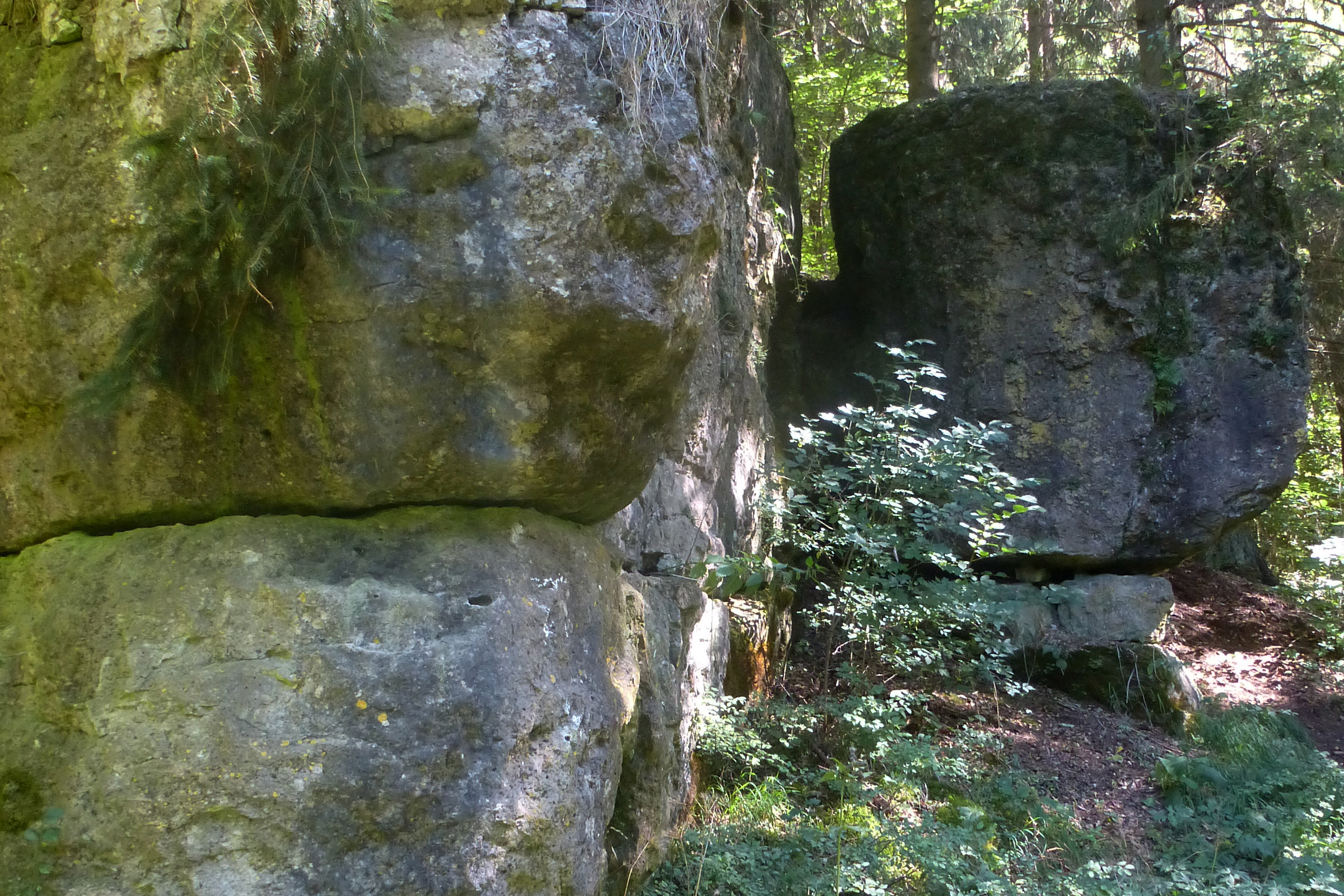
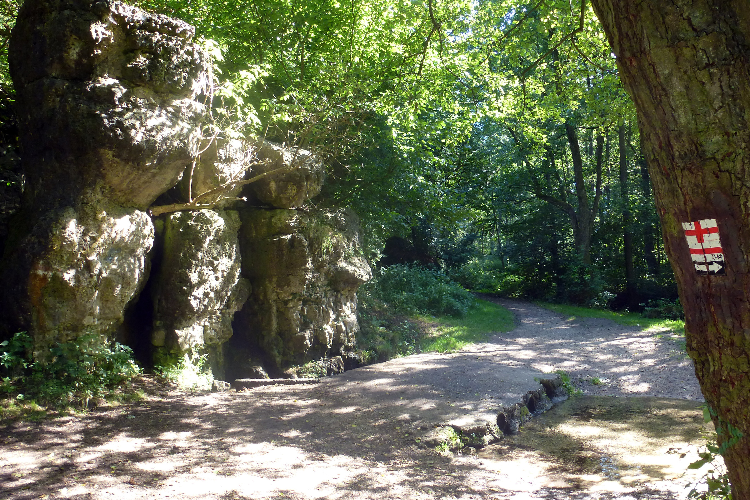
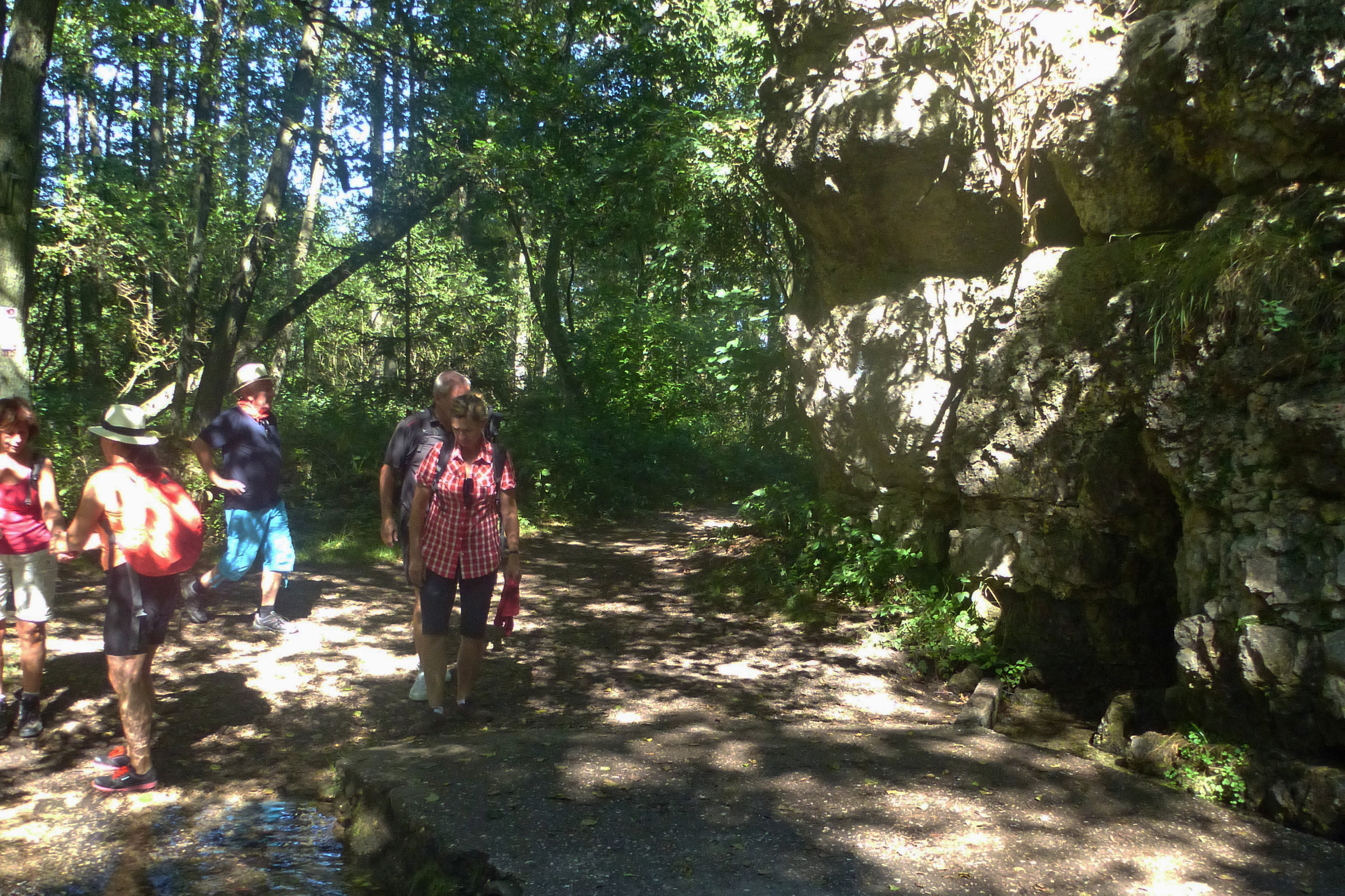
Nach dem letzten Weiher schräg nach rechts, erreichen wir erneut die Staatsstraße (Infotafel). Hier nur wenige Meter auf dem Radweg rechts, dann nach den Felsformationen links auf die andere Seite und hinein in den Wald.
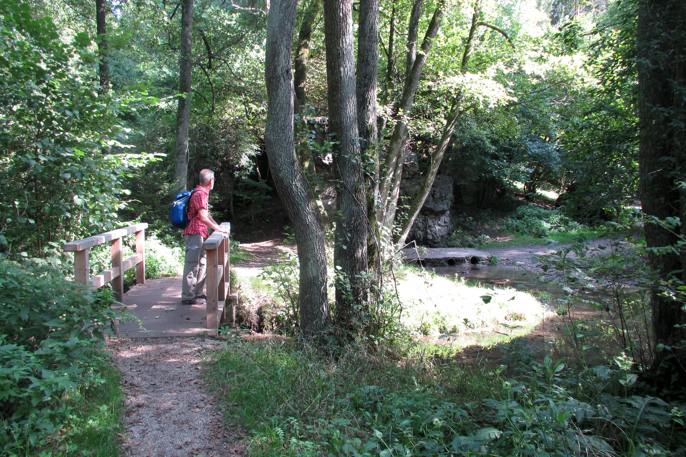
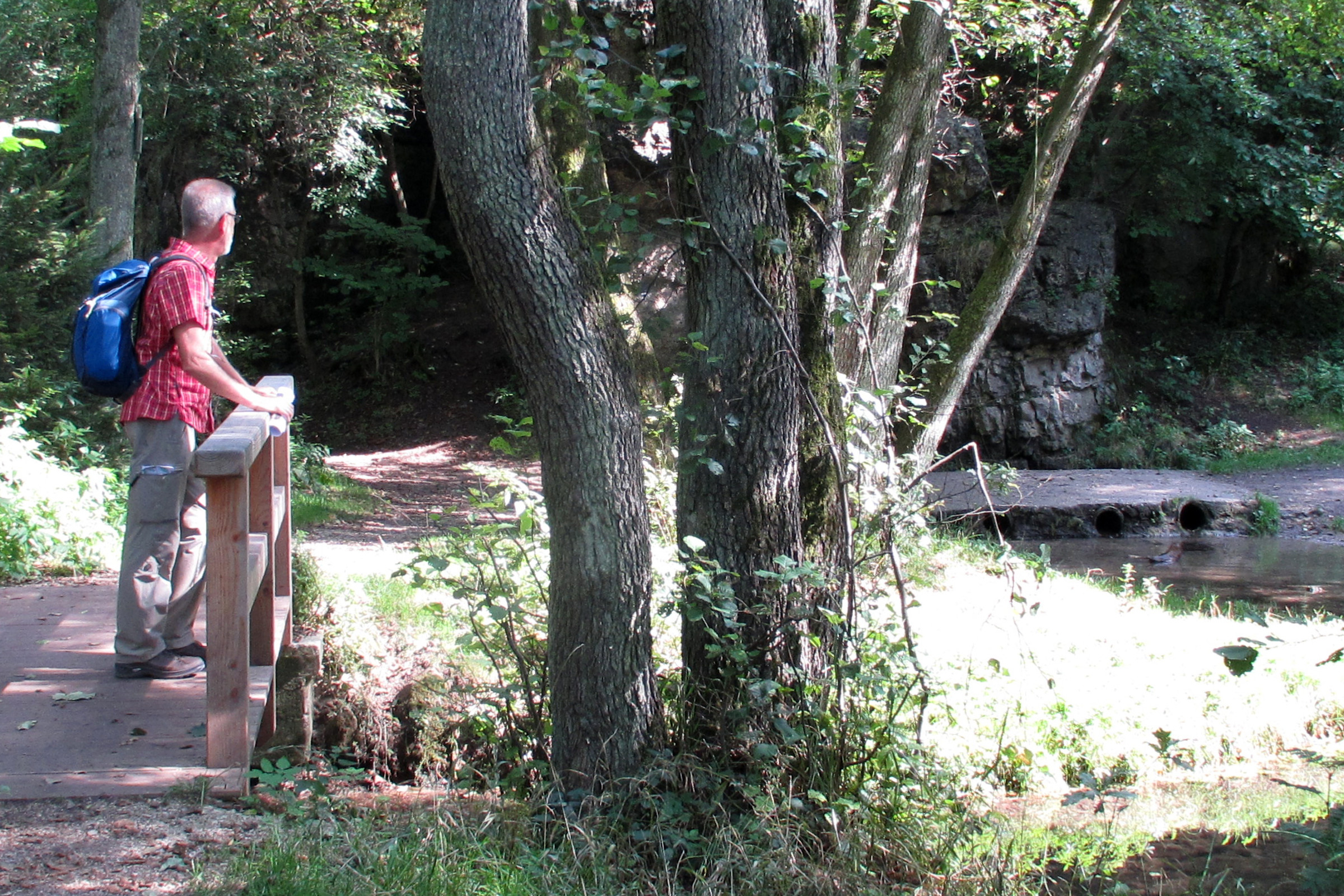
Hinter einer Links-rechts-Kombination verlassen wir vor einer Lichtung den breiten Forstweg nach links. Nach dem schmalen Pfad und dem dann breiter werdenden Weg überqueren wir erneut die B 85 geradeaus und fädeln hinter zwei leichten Bögen immer das im Auge nach einem großen Rechtsbogen links in einen Forstweg ein. Nach einem Trafohäuschen links des Weges tauchen vor uns die ersten Häuser von Breitenbrunn auf. Auf dem Querweg davor nach rechts, zunächst dem  folgend, finden wir erst nach wenigen Metern das gewohnte an einem Strommast. Gleich bei der anschließenden Gabelung links und bald darauf wieder links ab, ändert sich das Landschaftsbild. Bald stehen wir hinter einem Holzbrücklein vor einem Dolomitfelsen und einer der insgesamt 7 Karstquellen in diesem Landschaftsschutzgebiet.
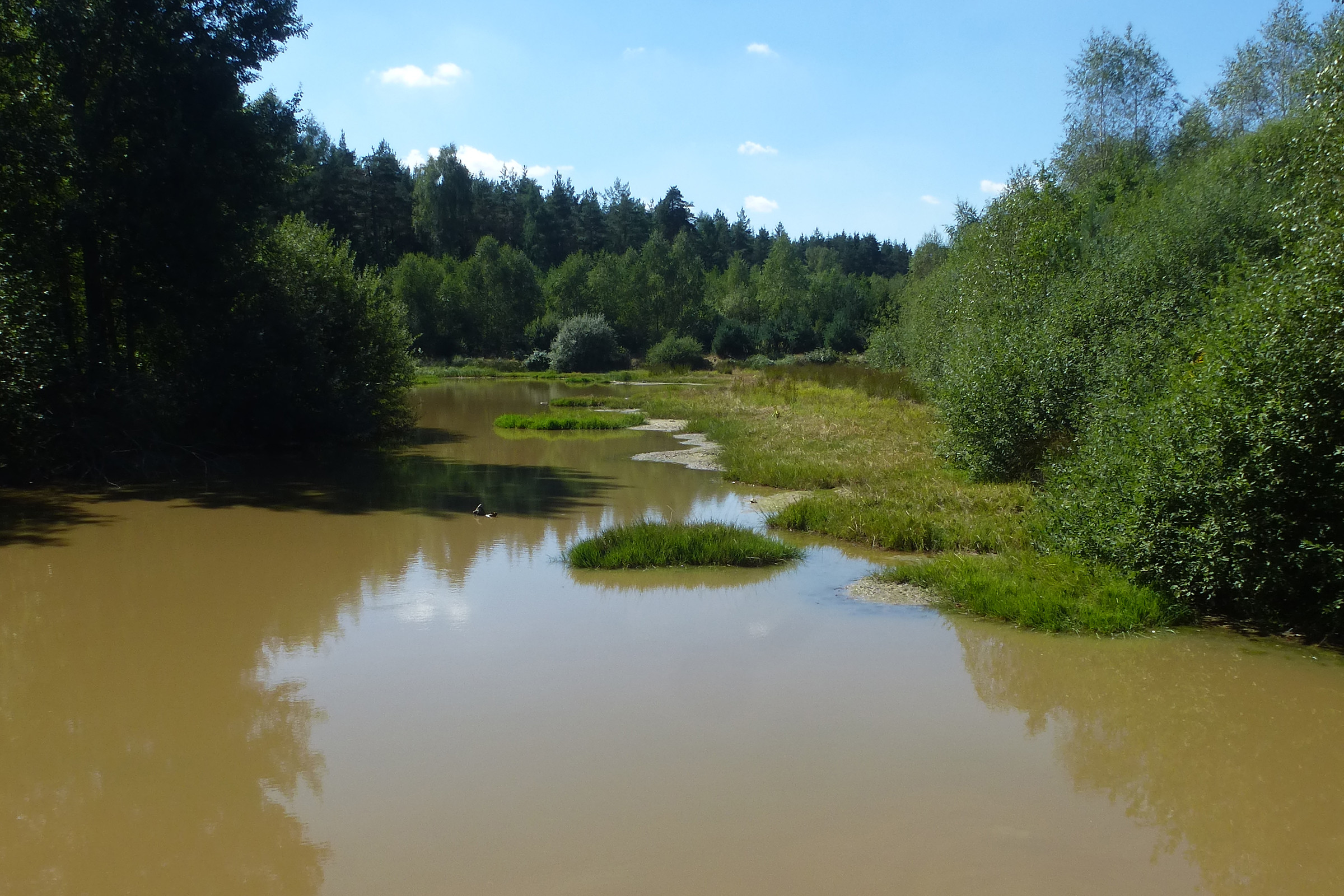
Die Sieben Quellen
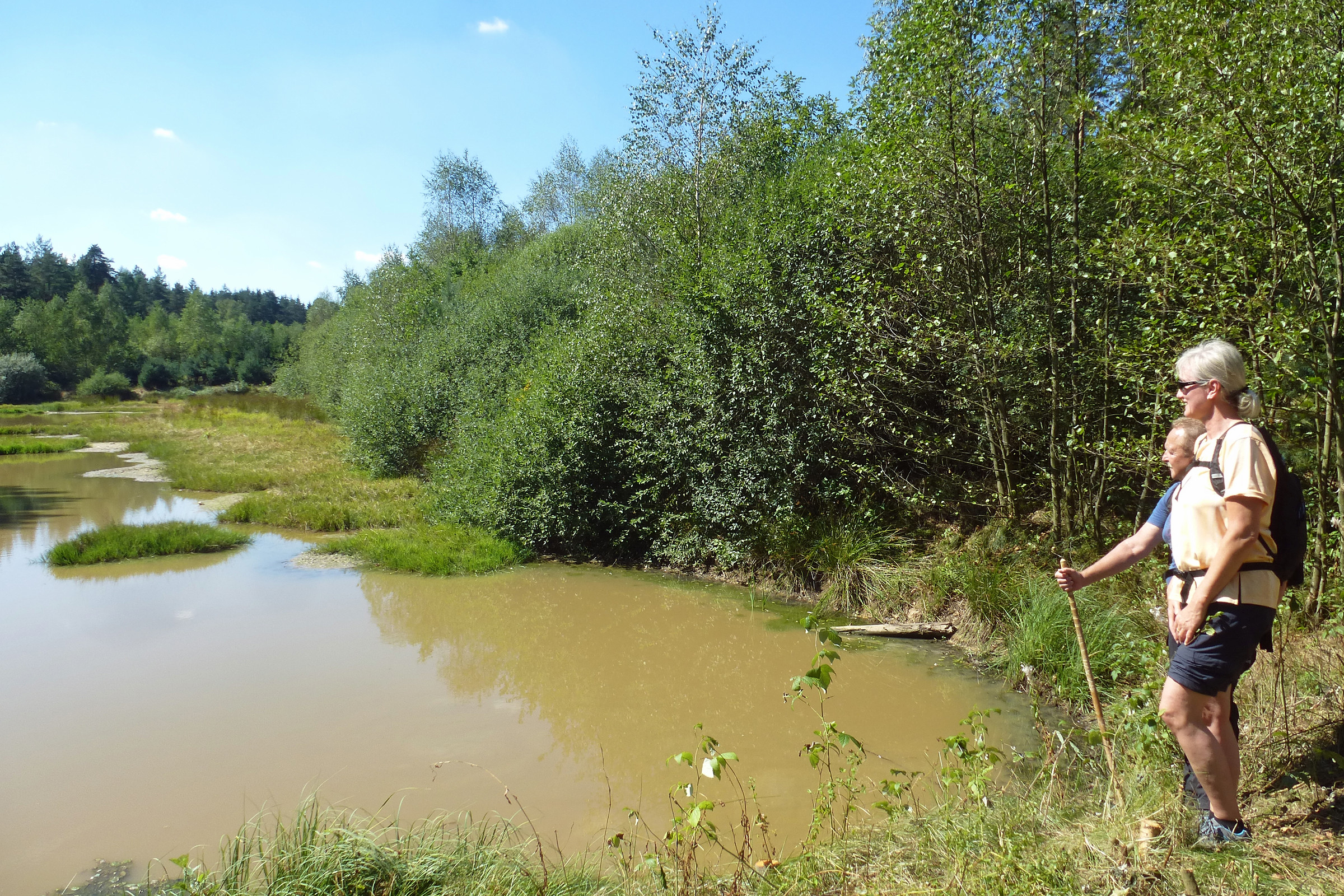
An mehreren Stellen im Breitenbrunner Tal hat die Erosion das Karstwasserniveau angeschnitten; sieben größere Quellen schütten dort klares Wasser aus den Malmdolomiten, das direkt dem Breitenbrunner Bach zufließt und ihn zu einem Flüsschen verstärkt. Seine oberste Quelle, der sogenannte Rieglasbrunnen, ist ebenfalls eine Karstquelle. Die Sieben Quellen sind vom Bayerischen Landesamt für Umwelt als Geotop 371 ausgewiesen. Quelle: wikipedia

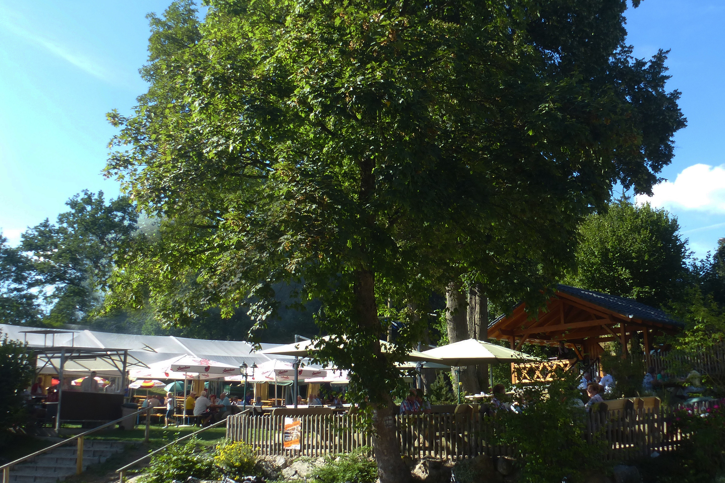
Es ist schwierig, eigentlich unmöglich, alle sieben Quellen hier auszumachen. Also folgen wir unseren Wegezeichen von der Brücke ausgehend nach links durch die Feuchtfl ächen dieser idyllischen Landschaft an einem Bachlauf entlang. Danach überqueren wir den Breitenbrunner Bach und erreichen so das Gasthaus „Zu den Sieben Quellen“. (km 15,0)
Auf dem Weg zum Bahnhof in Sulzbach-Rosenberg halten wir uns an das  . Es ist angebracht an einem Metallpfosten des Verkehrszeichens „Verbot für Krafträder und Kraftwagen“: vom Biergarten her kommen rechts bei der Wegegabelung am Ortsausgang. Der Weg steigt an, rechter Hand: auch das an einem Baum. Nun halten wir uns links und nur ein Stück am Waldrand entlang.
Danach geht es schräg nach rechts auf einem Pfad wieder in den Wald hinein. Nach dem Waldaustritt vor einer Lichtung links halten und zwischen den Feldern auf das schon sichtbare Hochhaus zu. Davor kurz rechts, anschließend in der Graf-Berengar-Straße geradeaus.
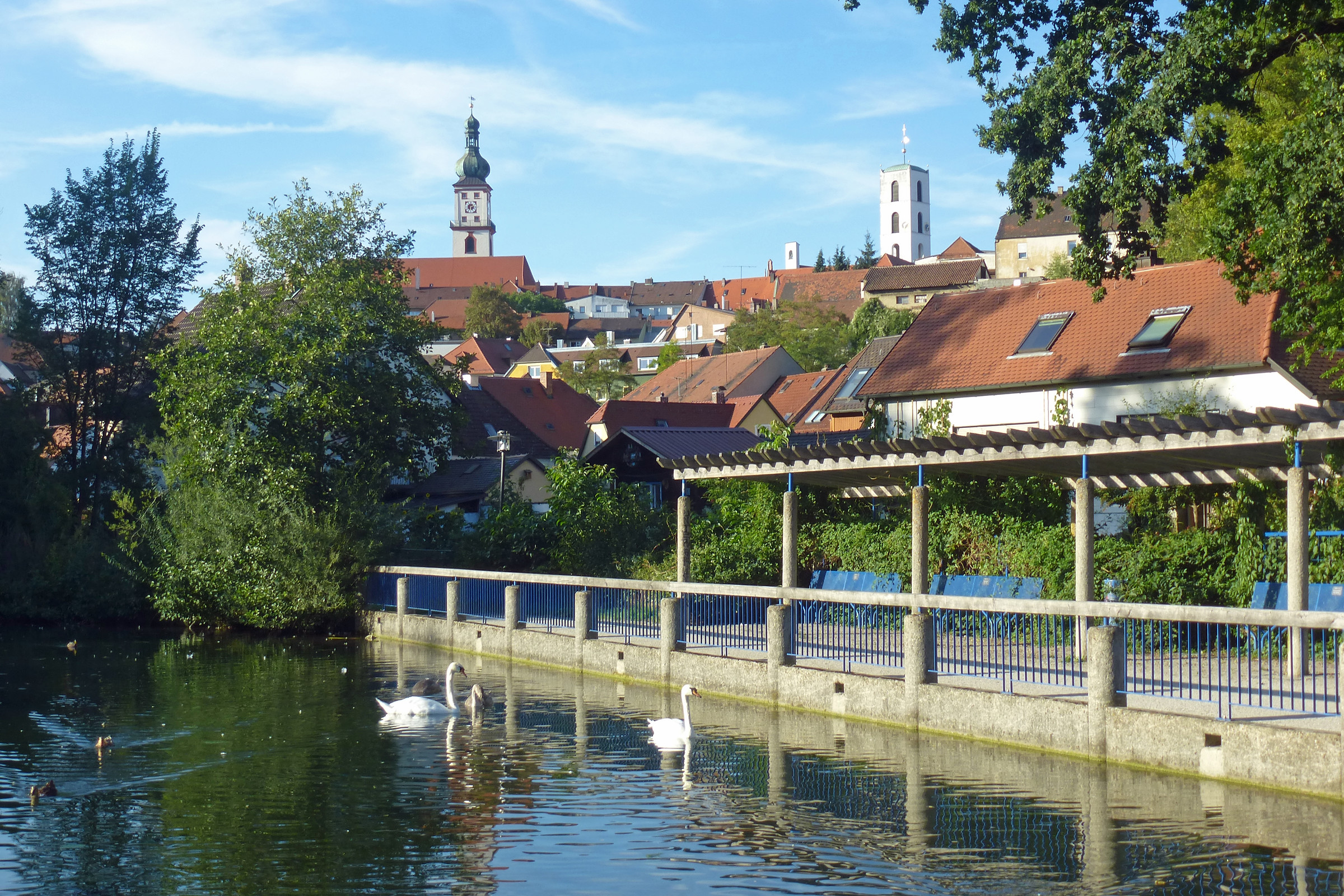
Nach der Kreuzung erreichen wir – stetig abwärts über die Urbanstraße, dann Goethestraße und unten rechts – die Bahnunterführung. Dahinter links, es sind noch rund 250 m zum Bahnhof. Der Regional-Express verkehrt im Stundentakt.
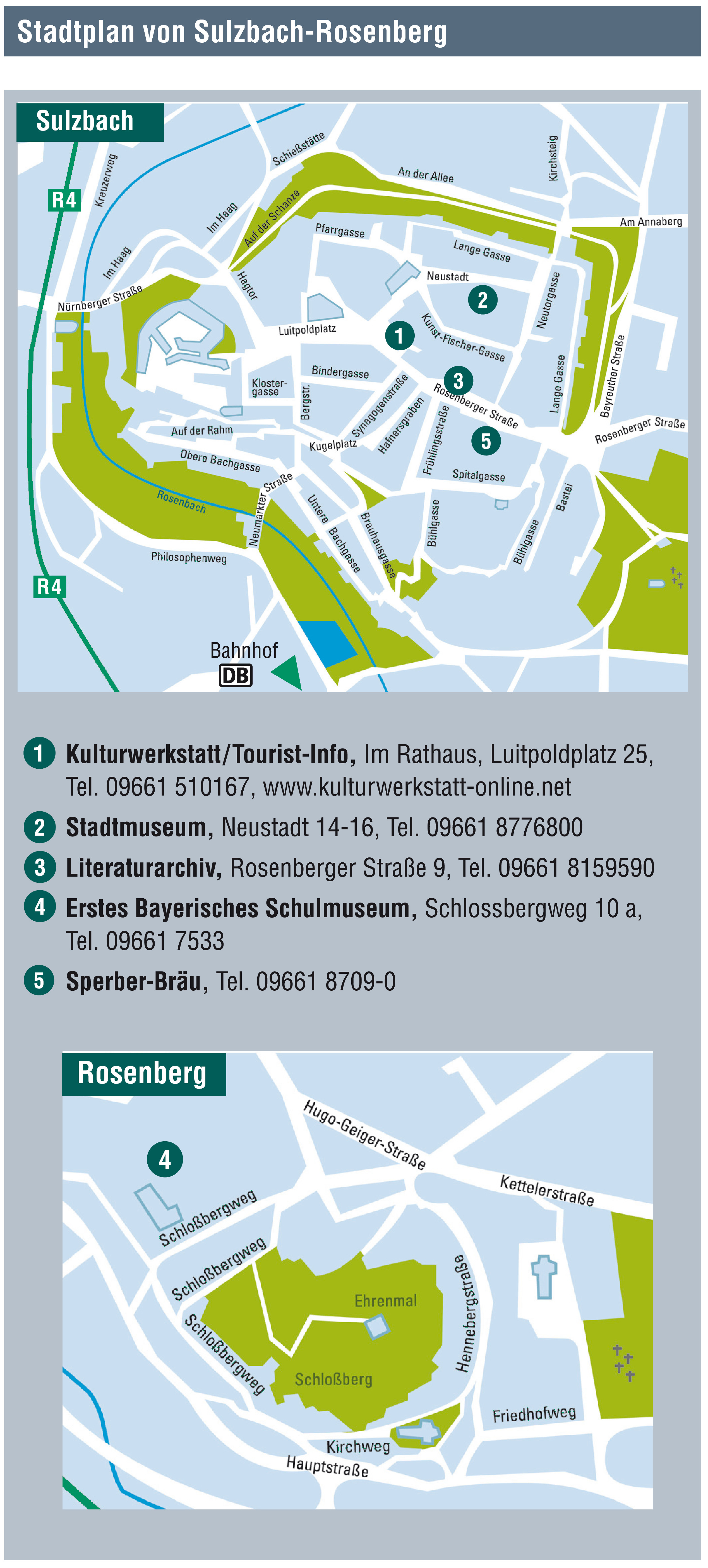
Je nach Fahrplanlage bietet sich ein kleiner Rundgang durch den Stadtpark oder gar ein Abstecher hinauf ins Zentrum mit dem magischen Dreieck Schloss-Kirche-Rathaus und zahlreichen Einkehrmöglichkeiten rund um den Marktplatz.
Mehr Infos über Sulzbach-Rosenberg erhalten sie bei:
Stadt Sulzbach-Rosenberg
Luitpoldplatz 25
92237 Sulzbach-Rosenberg
Tel. 09661 510-0, Fax - 4333
E-Mail: Poststelle@Sulzbach-Rosenberg.de
Internet: www.sulzbach-rosenberg.de
Bitte informiere Dich in Deinem eigenen Interesse vorab über die aktuellen Öffnungszeiten und Ruhetage. Korrekturen können an freizeit@vgn.de gemailt werden.
Unsere Webseite verwendet Cookies. Diese haben verschiedene Funktionen.
Die Einwilligung in die Verwendung der nicht notwenigen Cookies können Sie jederzeit widerrufen. Weitere Informationen zu den von uns eingesetzten Cookies finden Sie in unserer Datenschutzerklärung.
Zur Teilnahme an Gewinnspielen müssen die notwendigen Cookies aktiviert sein. Weitere Informationen finden sie im Datenschutz.