Steckbrief
Informationen zur Wanderung
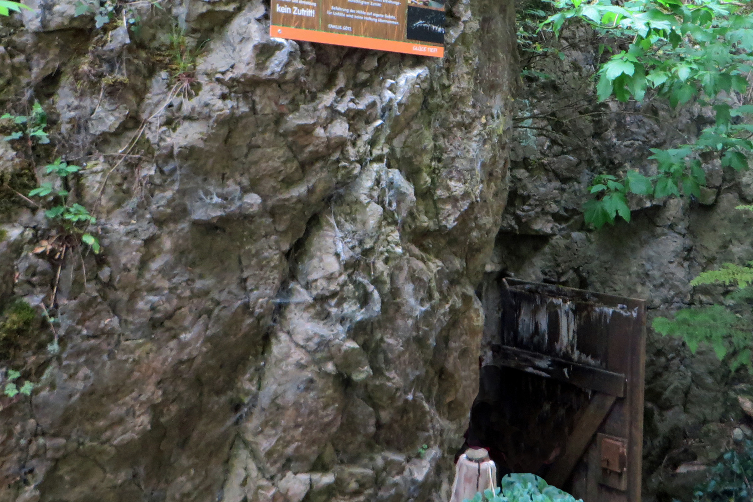
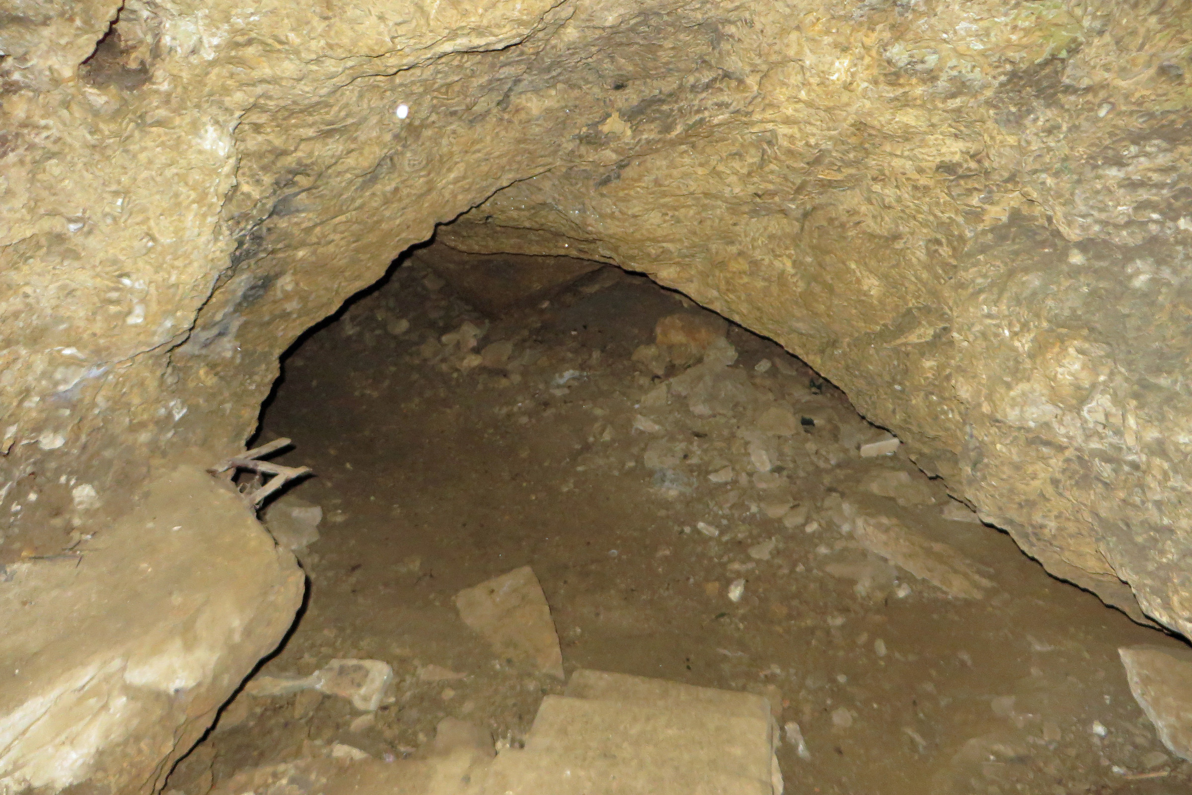
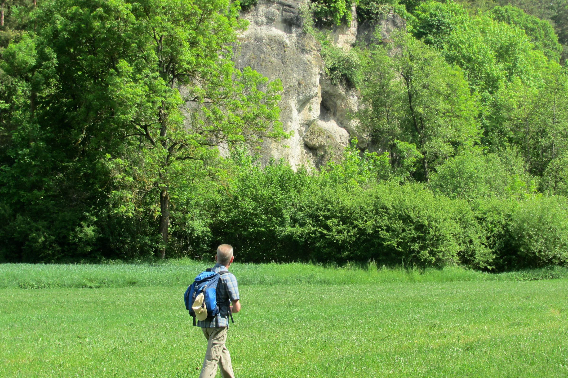
| Thema | Felsen und Höhlen, Aussichtspunkte |
|---|---|
| Region | Fränkische Schweiz |
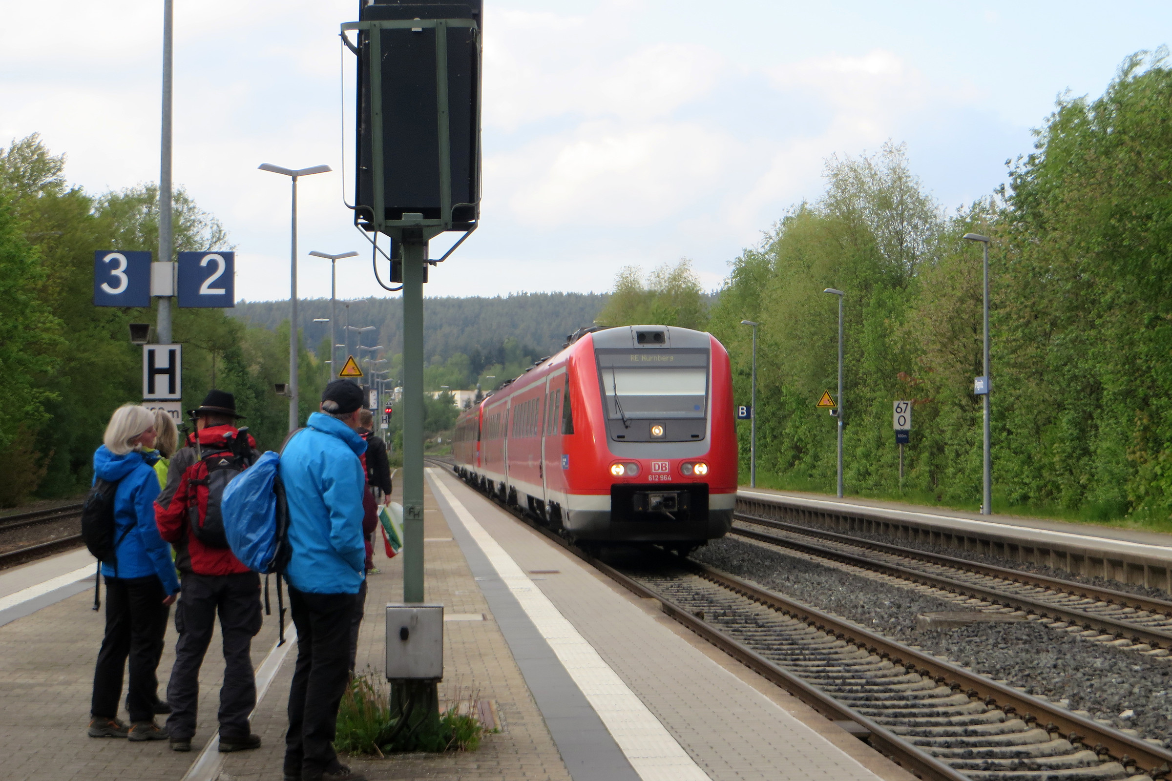
| Linien | 339 450 RE 30 RE 31 RE 32 RE 33 |
| Länge | ca. 14 km |
| Dauer | ca. 4 Std. |
Bewertungen
| Gesamteindruck |
(3)
|
|---|---|
| Landschaft |
(4)
|
| Gastronomie |
(4)
|
| Anspruch / Kondition |
(3)
|
| Wegbeschreibung |
(3)
|
Bewertungen sind nur möglich, wenn Sie funktionale Cookies erlauben.
Höhenprofil


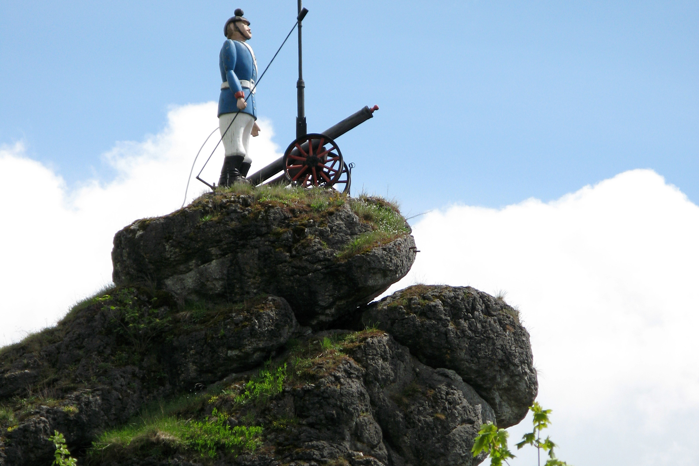
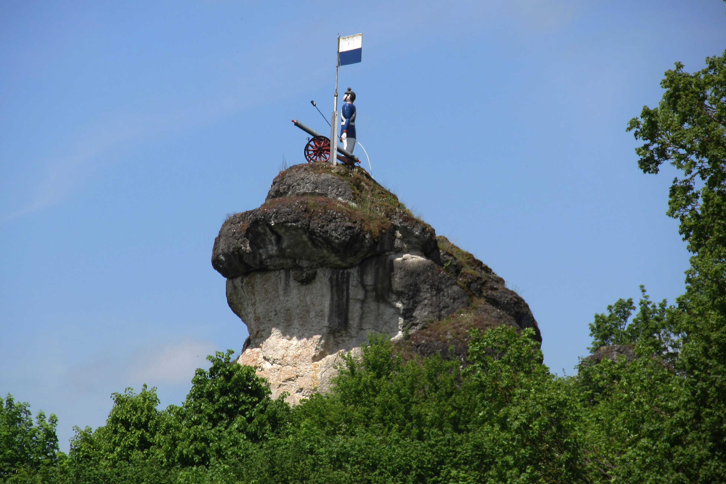
Zum Kanonier von Weidlwang durch die Fränkische Schweiz | Tour 136
Prospekt-Download

Informationen zur Wanderung
GPS-Track Download
| GPX / Garmin | Tourdaten.gpx |
|---|---|
| Google Earth | Tourdaten.kml |


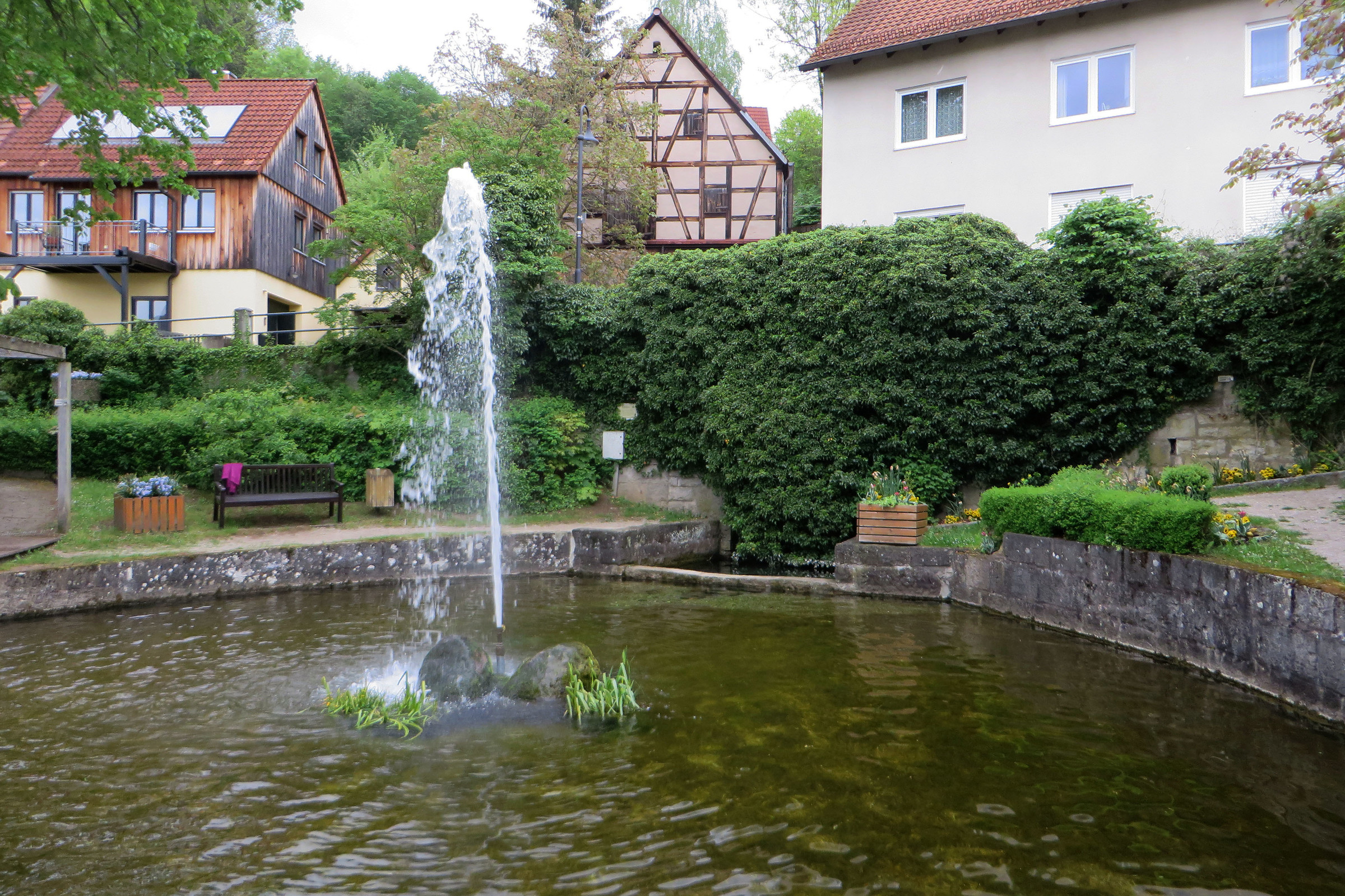
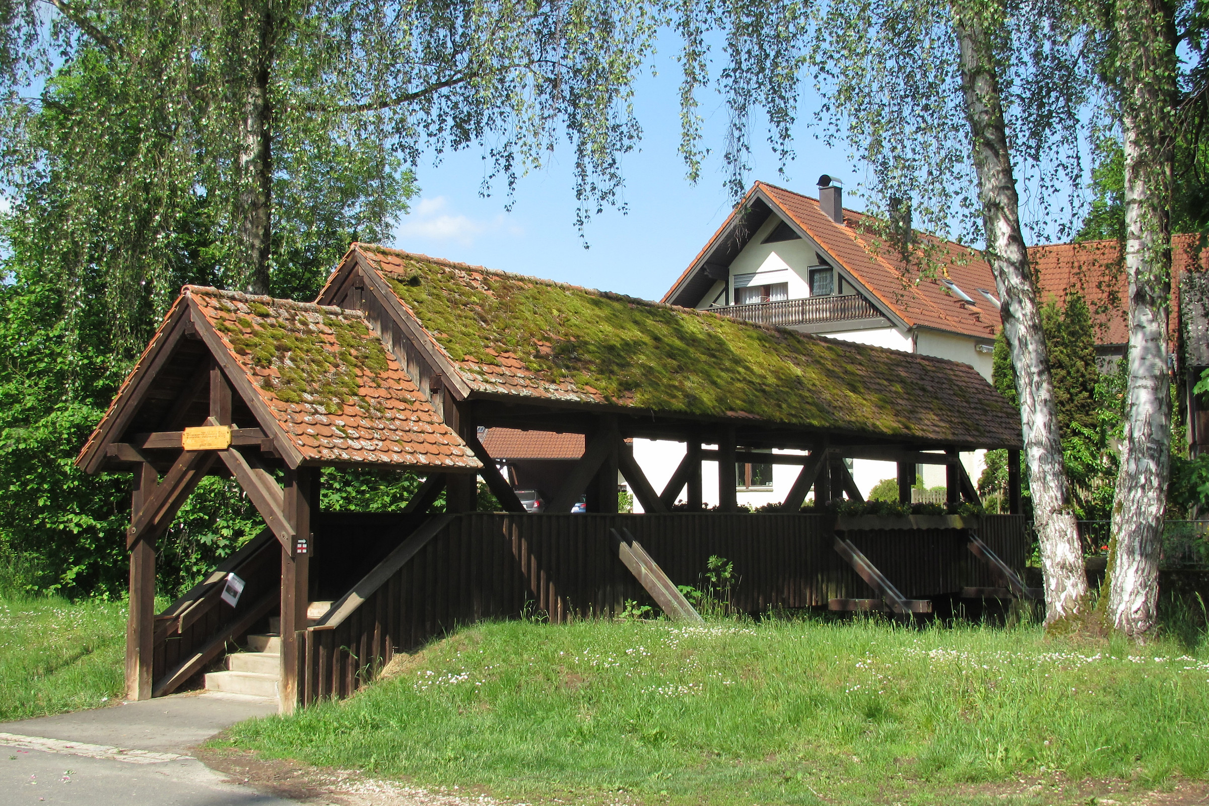
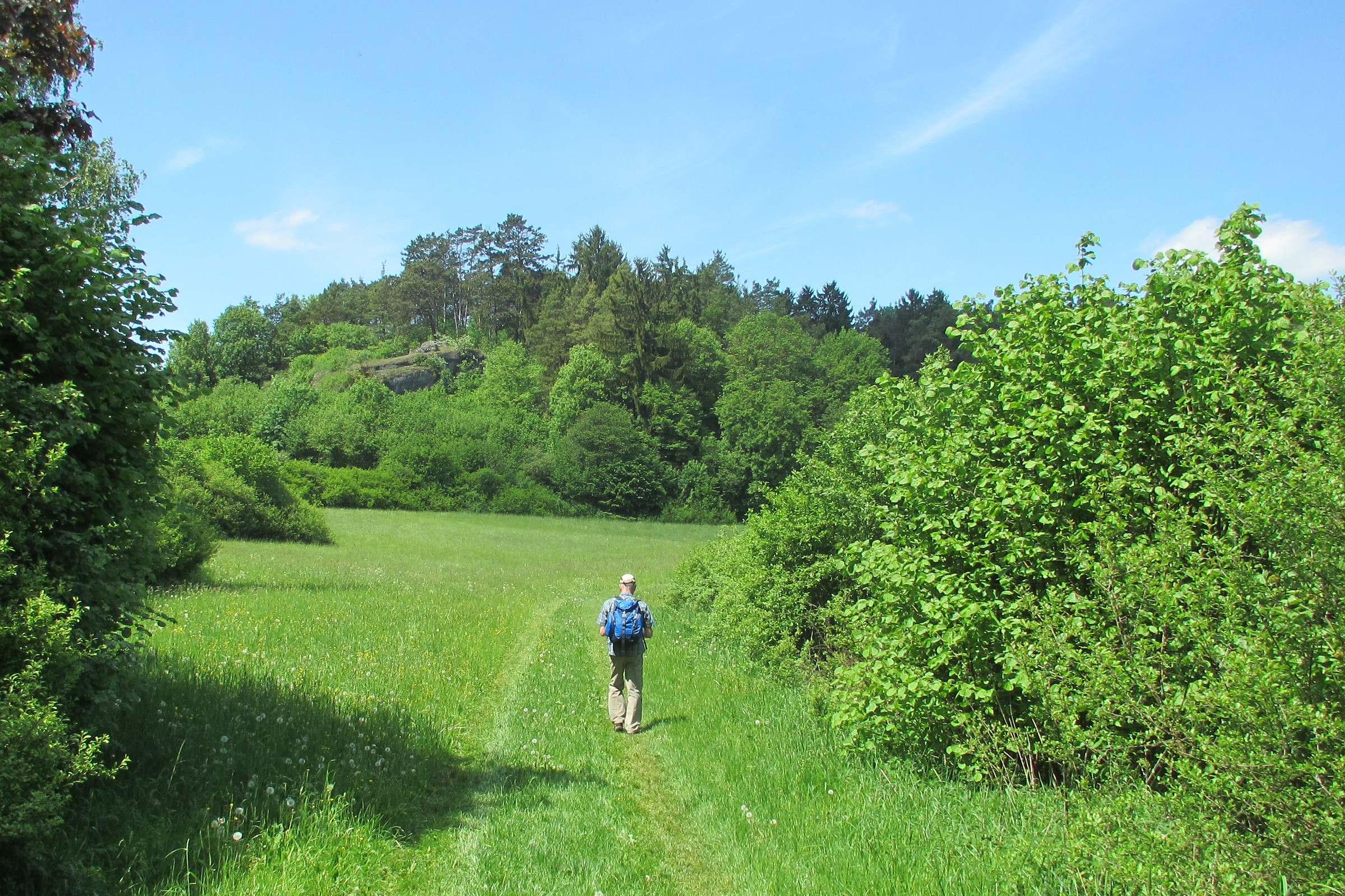
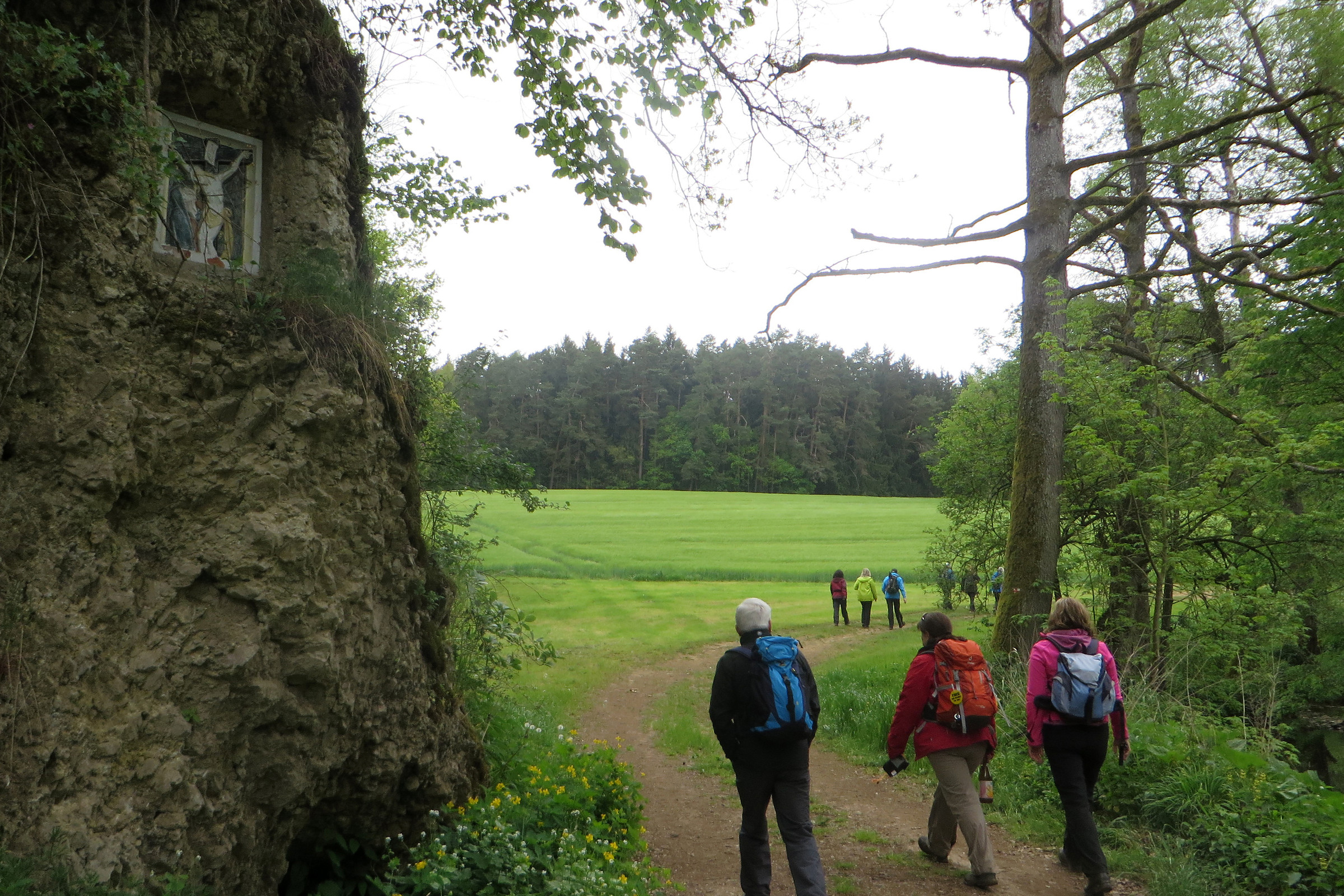
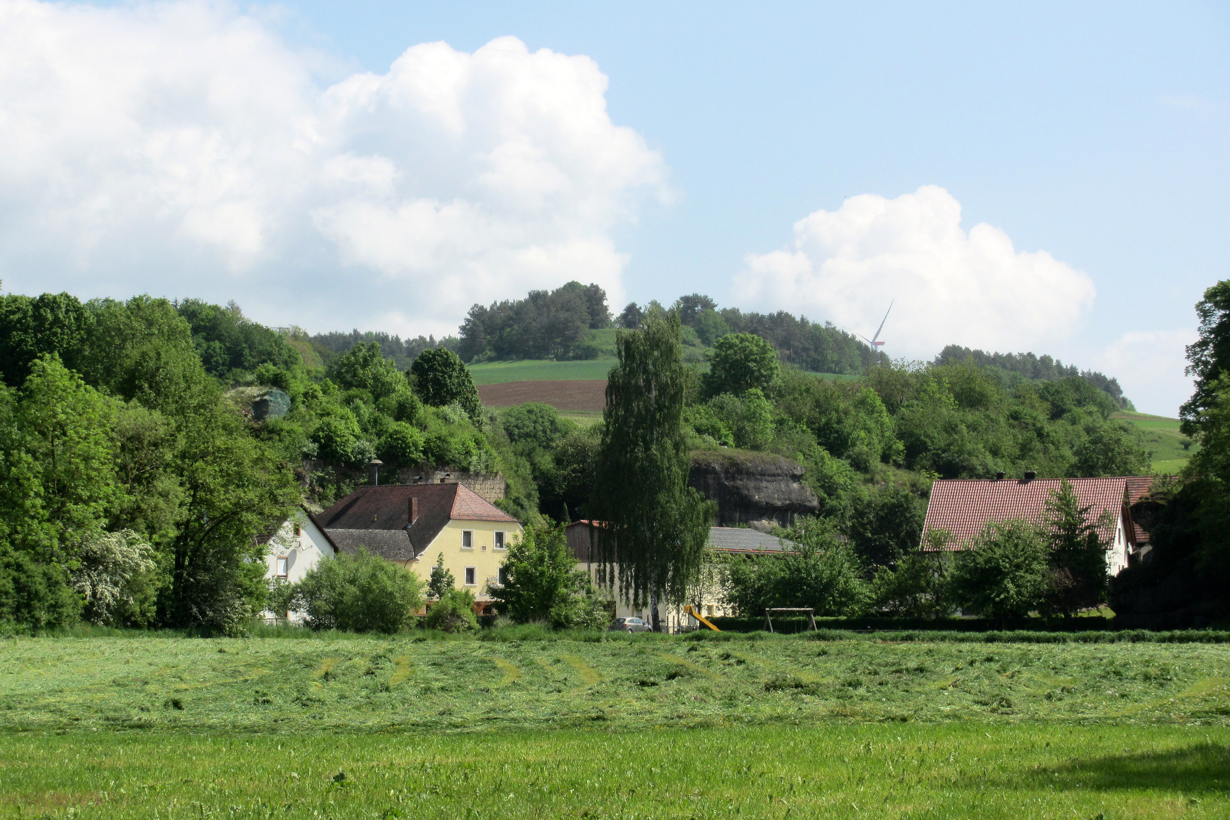
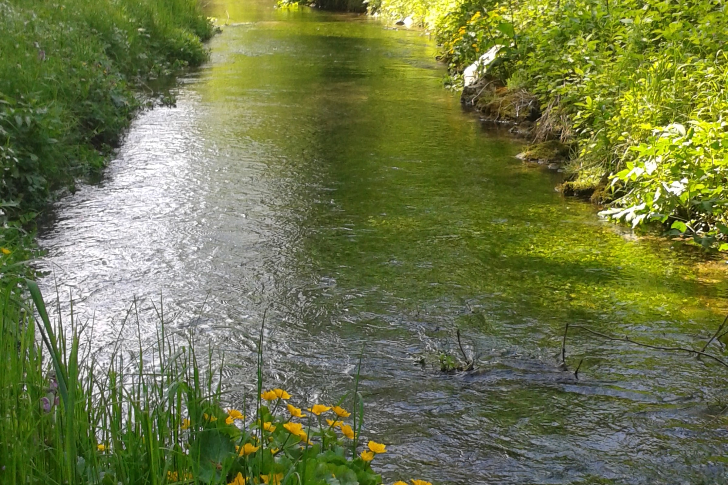
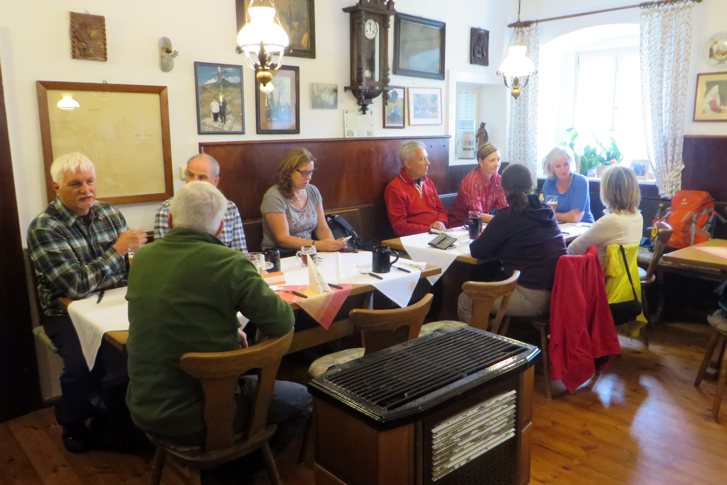
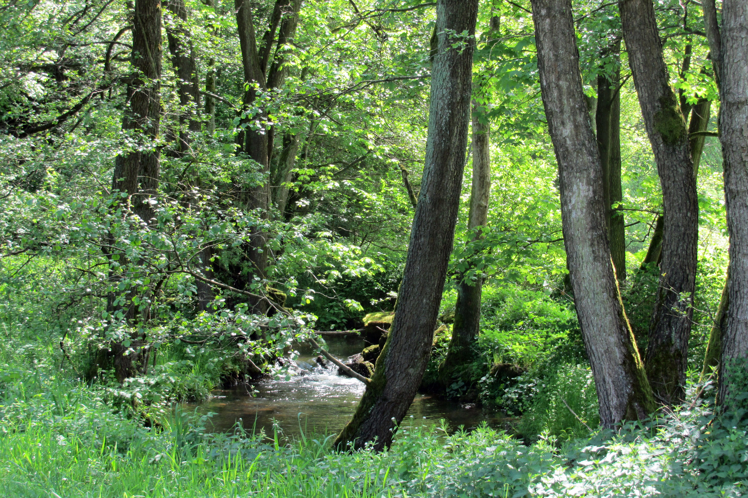
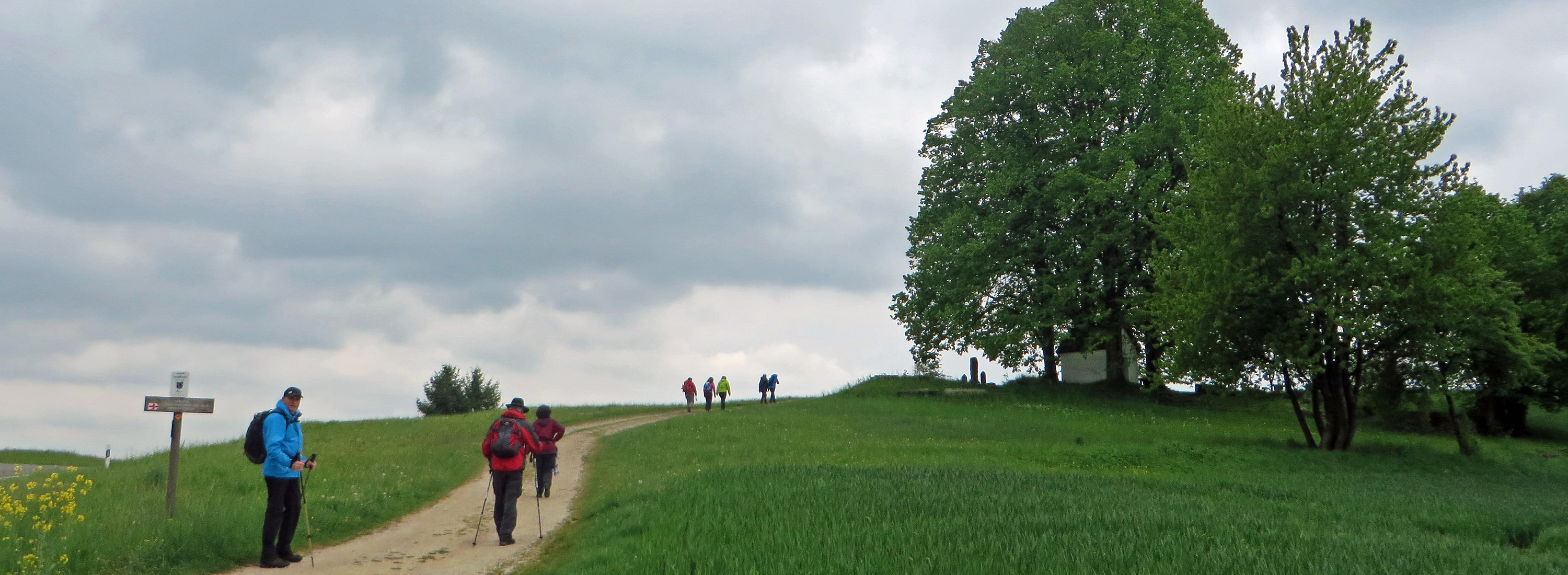
 hinterher über den Pfarrer-Wolfring-Steg und Wiesenwege, entlang des ehemaligen Hammerwerks und an der Flembachhütte der Naturfreunde Auerbach vorbei, bis zum Felsendorf Steinamwasser mit gleich zwei Einkehrmöglichkeiten.
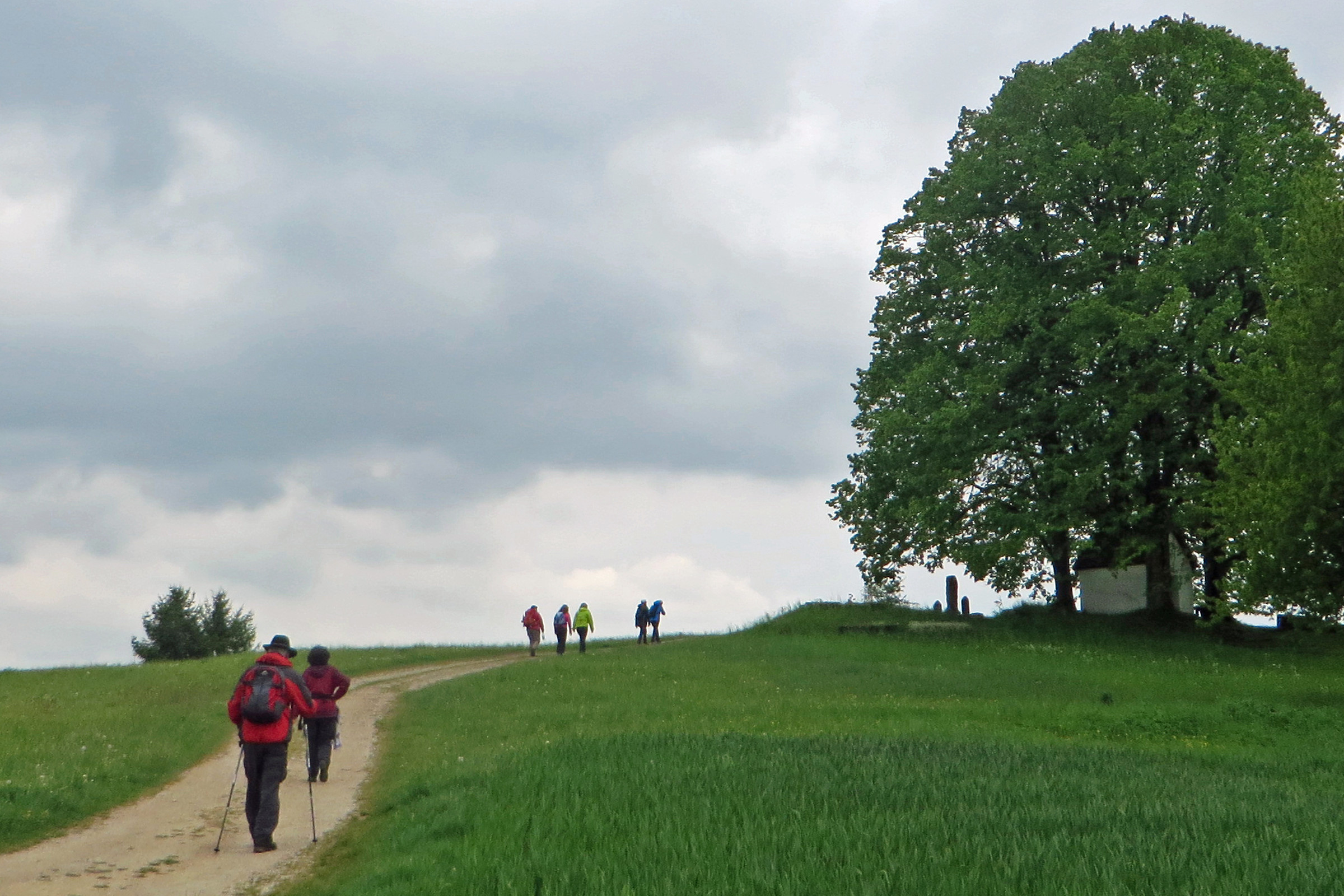
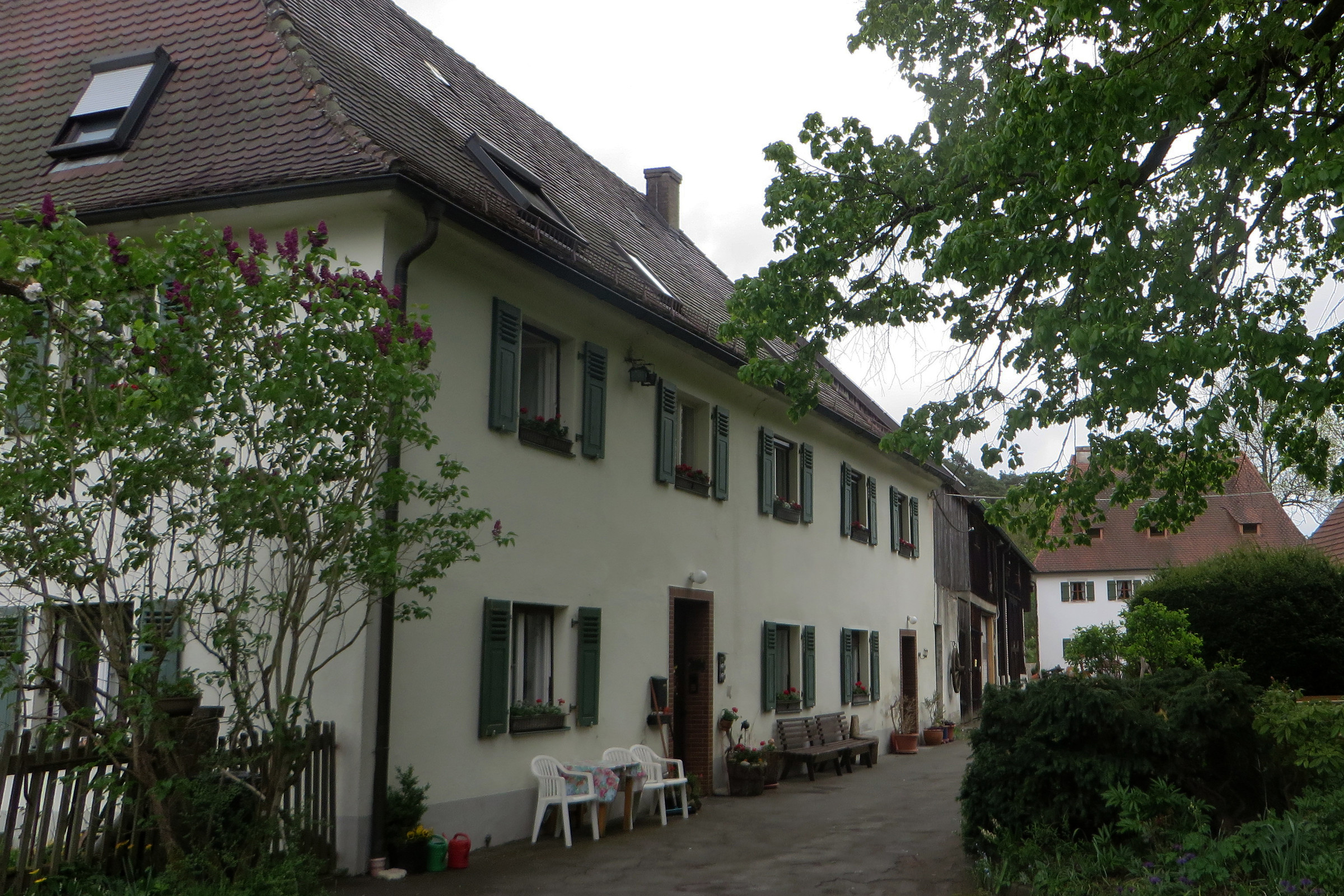
 nach Hainbronn.
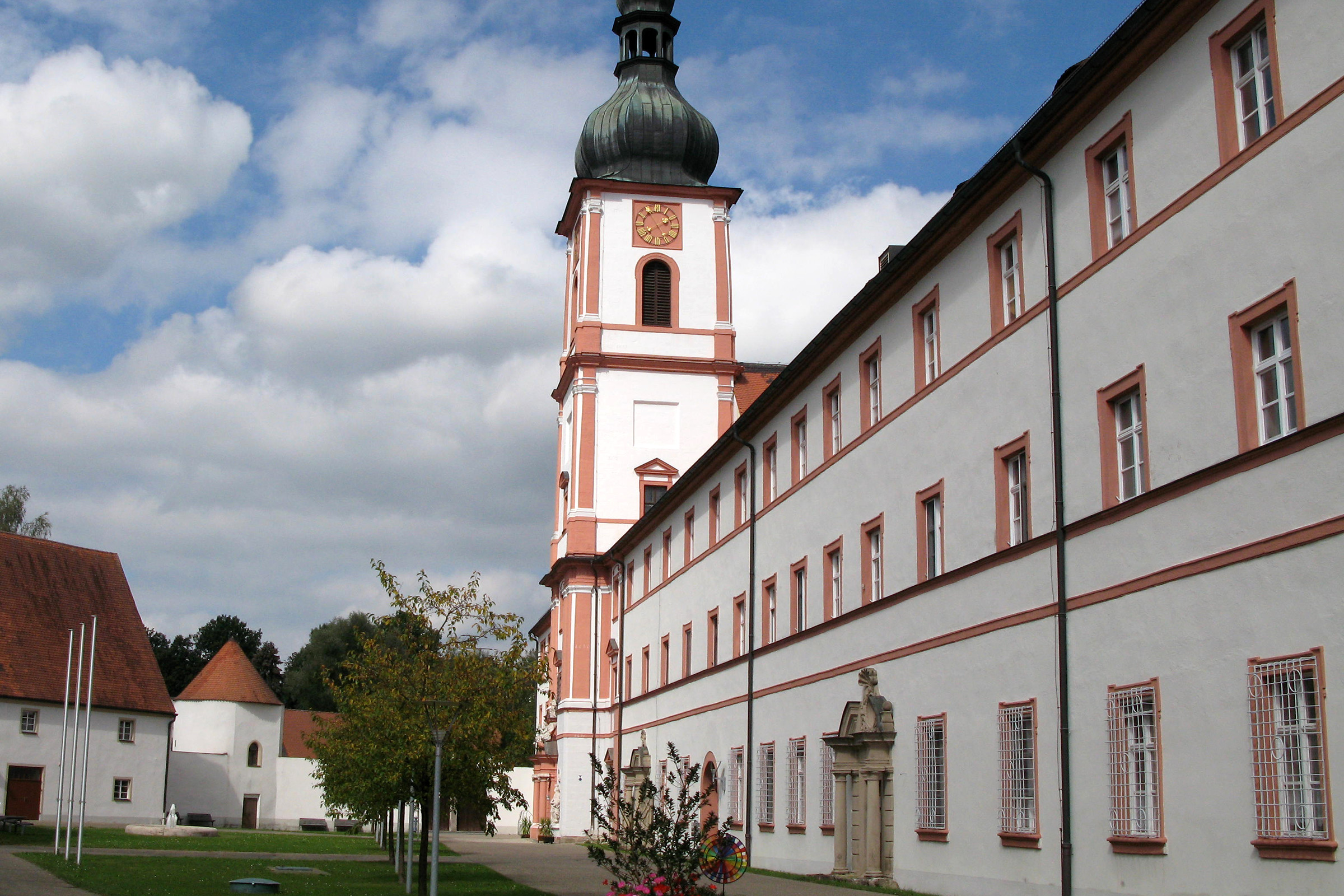
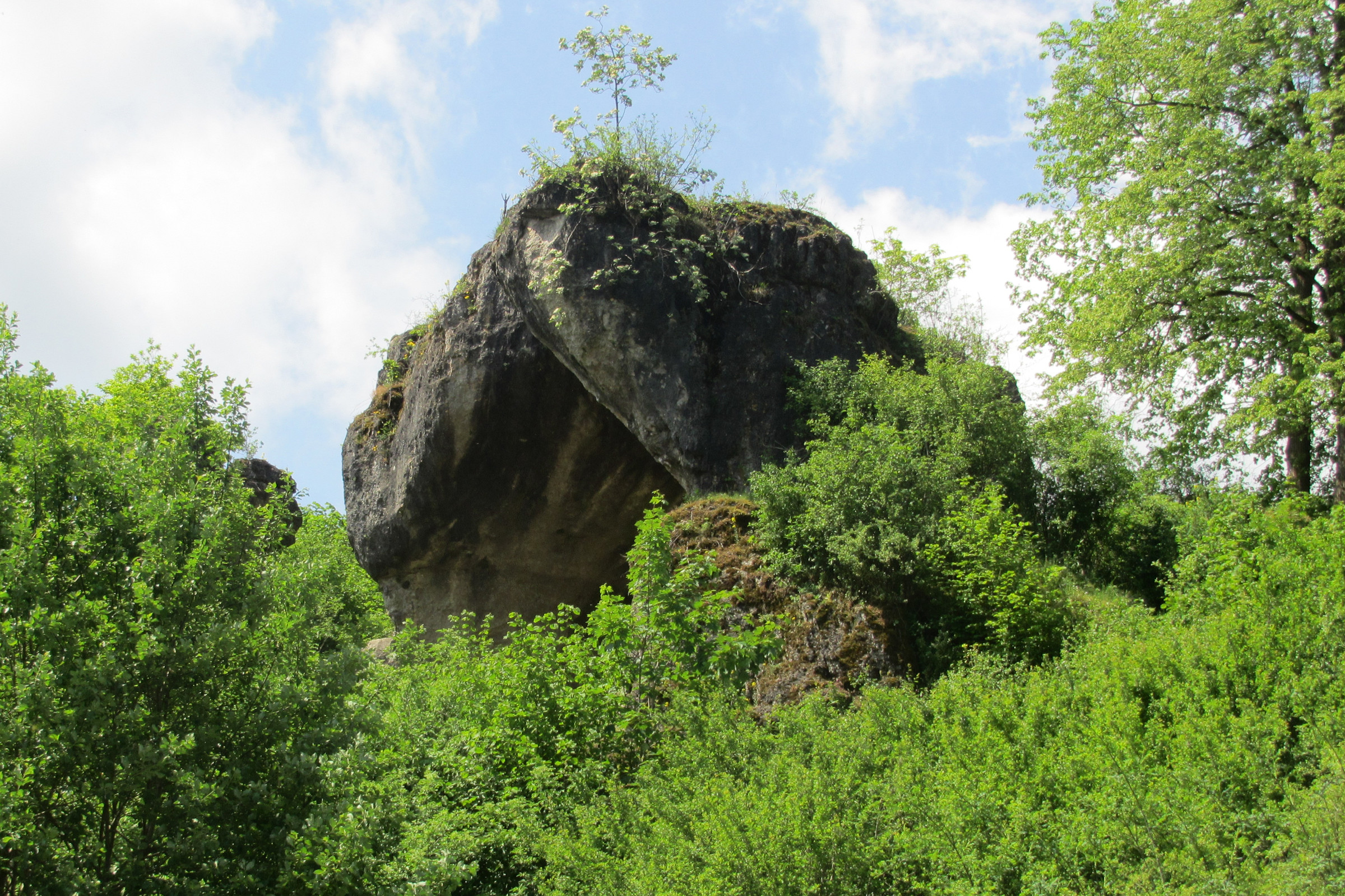
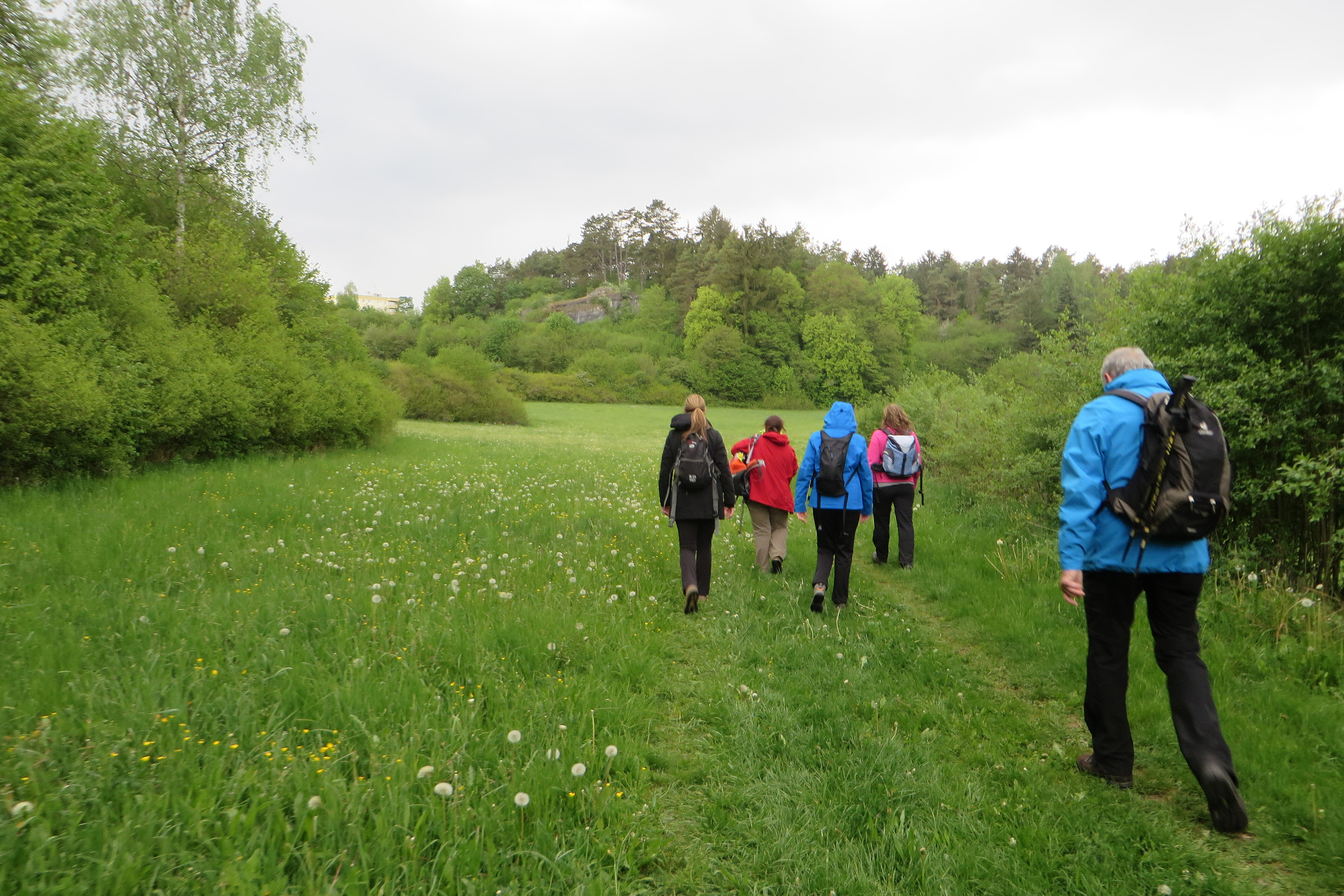
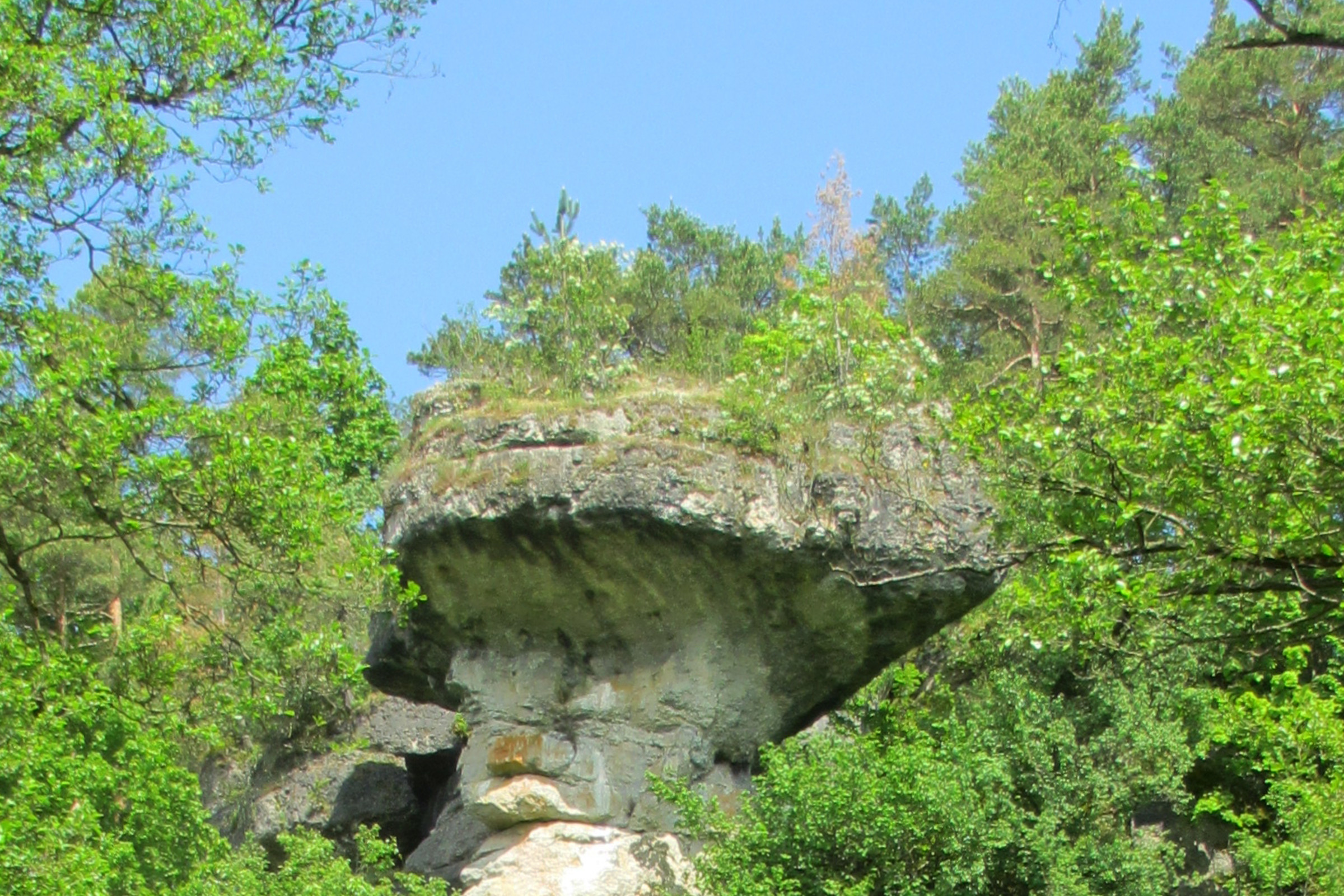
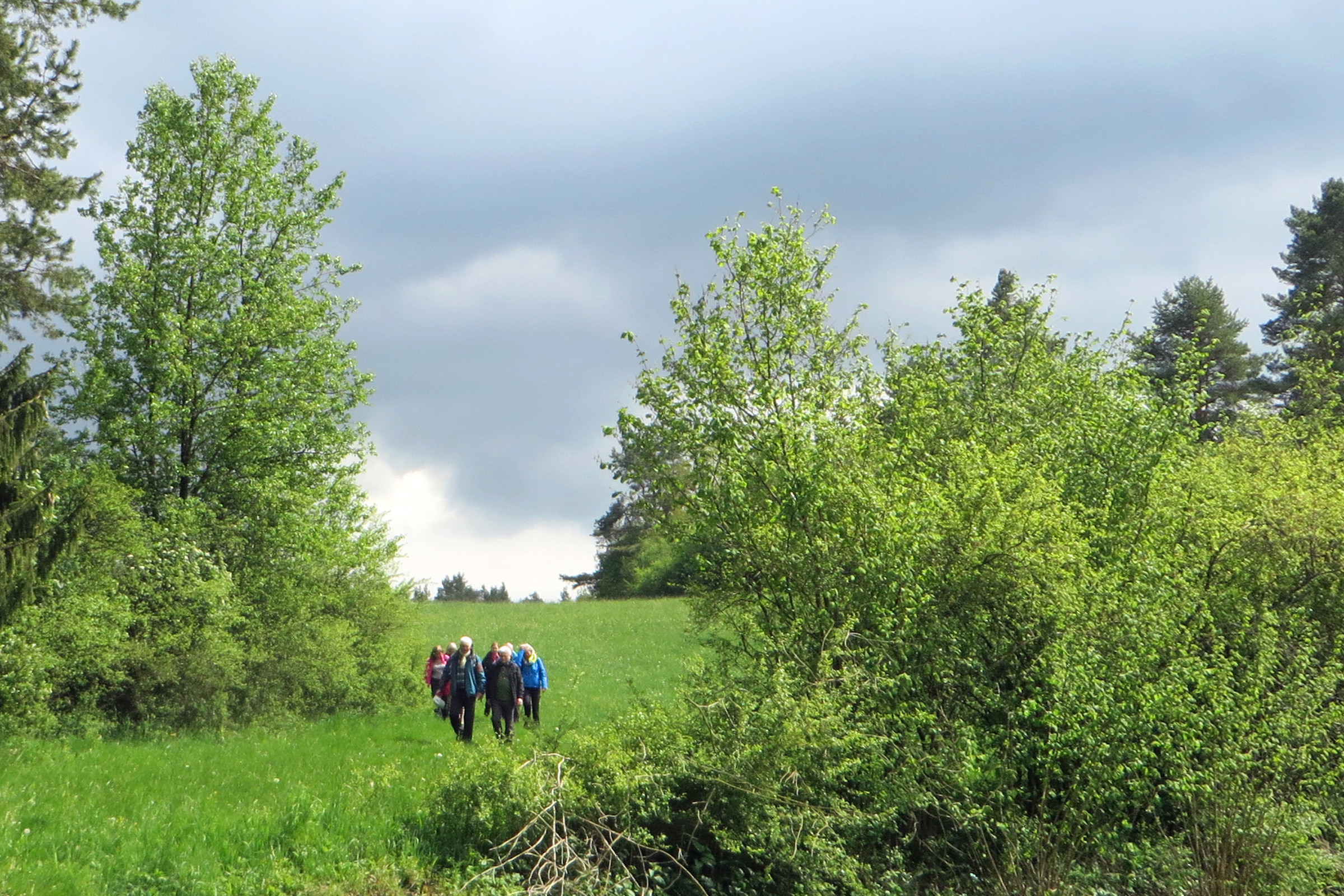
 folgst du nun über Wiesenwege und an Felsformationen entlang bis nach Pegnitz – dem
  aus hast du Anschlüsse in den Verbundraum.
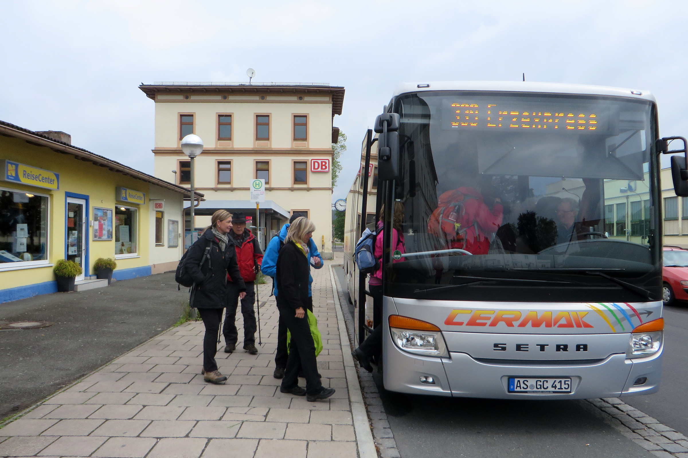